
What is recorded here
In pasture, on a gentle NW-facing slope. Sub-rectangular area defined by mortared stone wall (Wth 0.5m; H 1.45-1.7m) on all sides: (L 42m) at N, (L 60m) at E, (L 37m) at S and (L 66m) at W; Entrance and stile at N-end, W-wall. Range of headstones from 18th century; still in use. Church (LI024-072004-) off-centre to E. Grass covered mound (dims. 5m N-S; 8m E-W) defined by scarp (Wth 2.75m; H 1.1m) to N appears to be a vault. Collapse into a shallow depression in SW-quadrant. Modern graveyard (dims. 84m NNE-SSW; 12m ESE-WNW) adjoins E-side. Named as 'Grave Yd.' on current edition OS 6-inch map Within area of medieval settlement (LI024-072001-) of 'Pailis Greine' which includes: Church (LI024-072004-), holy well (LI024-072006-), motte (LI024-072002-) and castle (LI024-072003-).
Compiled by: Alison McQueen and Vera Rahilly
Revised by: Caimin O'Brien
Date of revised upload: 04 January 2019
A local ancient tomb; wider significance not recorded.
The monument record does not grant public access. Check the route and ask the landowner before entering private land.
- What survives
- Recorded monument
Places near here
 Pallas MoatCastle, motte · 538 yd
 (Site of) CastleCastle, unclassified · 617 yd
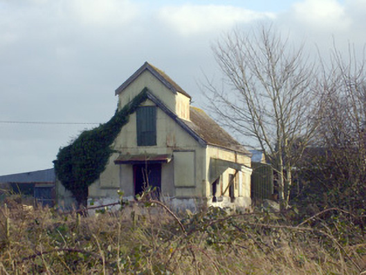 Race Creamerycreamery · 756 yd
 BarrowBarrow, ring-barrow · 871 yd
 Enclosure in Pallas (coonagh By.)Enclosure · 1052 yd
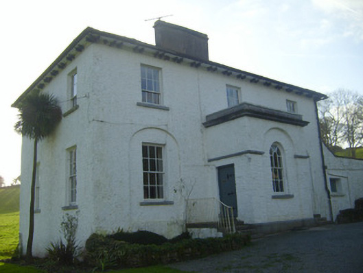 Moymore Houserectory/glebe/vicarage/curate's house · 1150 yd
 KnockseefinMountain / peak · 1.1 mi
 ToberagaddySpring · 1.8 mi
 St. Patrick's WellSpring · 2.2 mi
 Kilteely HillMountain / peak · 2.6 mi
 Flat cemetery in Knockainy WestFlat cemetery · 6.5 mi
 Ballinvreena LoopVisitor information · 11 mi
Other information
Photo: Credit not shown in the picture search · Rights wording not checked; contact us if this picture should be removed