What is recorded here
Fairy forts are the oldest buildings in Ireland and one of the largest is in Moymore. The circle measured fifty-five metres across when aerial cameras caught it, marking a place where people lived before written history. The ditch and bank still hold their shape beneath grass, waiting for curiosity rather than applause.
In pasture 220m W of public road that marks the townland boundary with Kilduff. Not depicted on the OS maps. Identified by Bruff aerial photographic survey in 1986 (Bruff 75; AP 4/3680) as a large circular shaped crop mark. Visible on Google Earth orthoimage dated 18/11/2018 as a circular shaped area (approx. diam. 55m) defined by a levelled scarp with an outer ditch. A relict field boundary or avenue intersecting the monument at SE is visible on OSi orthoimage 2005-12.
See attached Bruff aerial survey image
Compiled by: Martin Fitzpatrick
Date of upload: 23 July 2020
The monument record does not grant public access. Check the route and ask the landowner before entering private land.
- What survives
- Recorded monument
Places near here
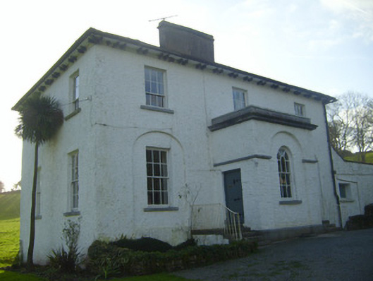 Moymore Houserectory/glebe/vicarage/curate's house · 582 yd
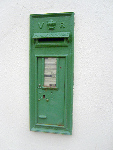 post boxpost box · 604 yd
 (Site of) Nicker CastleCastle, unclassified · 694 yd
 Enclosure in Garrane MoreEnclosure · 786 yd
 Field system in Glen (clanwilliam By.)Field system · 816 yd
 KnockseefinMountain / peak · 1039 yd
 Kilduff Castle (in ruins)Castle, tower house · 1572 yd
 ToberagaddySpring · 1714 yd
 St. Patrick's WellSpring · 3.0 mi
 Kilteely HillMountain / peak · 3.5 mi
 Flat cemetery in Knockainy WestFlat cemetery · 7.4 mi
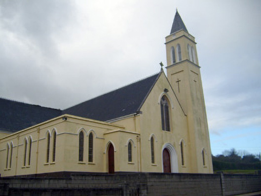 Catholic Church of Saint John the Baptistchurch/chapel · 626 yd