
What is recorded here
Extending from top of hill in townland of Glen and continuing on an E-facing slope into Pallashill townland, in rough and undulating upland pasture. Enclosures (LI024-044002/003/004-, LI024-280/281---- and hut sites LI024-303/304/305----) are located within. Depicted as a series of ten fields on the revised 1897 ed. OS 25-inch map. Field system identified on oblique aerial photographs taken 10/07/1967 (CUCAP AYO036). Monument surveyed by the ASI in 2008 and described as an irregular-shaped area (approx. 24ha) containing approx. ten rectangular, subrectangular and irregular-shaped fields which are defined by field boundaries (Wth 4.65m; int. H 0.35m; ext. H 0.6m). These are sod covered earth and stone walls which have evidence of collapse in places. An area of lazy beds (Wth 1.5m; H 0.15m) are visible across the E-side of the field system and in the S area. A trigonometric point is situated on the W-side. Monument is visible as a series of linear earthworks intersecting at right angles and forming a field pattern on OSi orthoimage taken 2005-2012, on ASIAP (309, 28, 30), on Digital Globe orthoimage taken 2011-201, and on Google Earth orthoimage taken 25/03/2017.
See attached annotated map, cross-section of field bank surveyed and drawn by the ASI in 2008 and Google Earth orthoimage taken 25/03/2017.
Compiled by: Alison McQueen and Vera Rahilly
Date of upload: 29 September 2020
The monument record does not grant public access. Check the route and ask the landowner before entering private land.
- What survives
- Recorded monument
Places near here
 Hut site in Glen (clanwilliam By.)Hut site · 61 yd
 Enclosure in Glen (clanwilliam By.)Enclosure · 191 yd
 KnockseefinMountain / peak · 592 yd
 (Site of) Nicker CastleCastle, unclassified · 673 yd
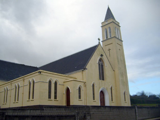 Catholic Church of Saint John the Baptistchurch/chapel · 749 yd
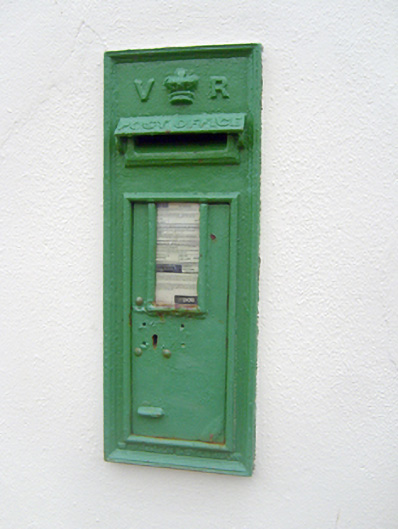 post boxpost box · 770 yd
 Pallas MoatCastle, motte · 1668 yd
 ToberagaddySpring · 1.4 mi
 St. Patrick's WellSpring · 2.6 mi
 Kilteely HillMountain / peak · 3.1 mi
 Flat cemetery in Knockainy WestFlat cemetery · 7.0 mi
 Partially indicatedEnclosure · 460 yd
Other information
Photo: Credit not shown in the picture search · Rights wording not checked; contact us if this picture should be removed