What is recorded here
On the N-facing slope of Knockseeefin, in rough upland pasture, 45m NW of a townland boundary with Glen. Enclosure (LI024-156----) lies 190m to SW, hilltop mound (LI024-012----) 97m to N, mass-rock (LI024-157---) 65m to NW. Depicted on the 1840 ed. OSi 6-inch map as a hexagonal-shaped field (60m ENE-SWS; 38m NNW-SSE) open to WSW, bisected by a townland boundary running NNW-SSE. Not depicted as an antiquity on this map and not depicted on any subsequent OSi map. Monument described by O’Dwyer (1959, 78) as following; 'This platform structure is cut through the centre by a modern field fence and the portion of the site to the E of this is so much damaged that the edge of the platform and the ditch outside are hardly discernable. West of the fence there are some indications that the platform had a bank at its edge, and perhaps a slight counter-scarp bank outside the ditch. The original diameter of the platform seems to have been about 70'(21m)'. Monument surveyed by the ASI in 2008 and described as no surface remains visible. Monument is visible as a broad suboval-shaped cropmark on OSi orthoimage taken 2005-2012, on Digital Globe orthoimage taken 2011-201, and on Google Earth orthoimage taken 28/06/2018. See attached profile drawn by O’Dwyer in 1959 and Google Earth orthoimage taken 28/06/2018.
On the N-facing slope of Knockseeefin, in rough upland pasture, 45m NW of a townland boundary with Glen. Enclosure (LI024-156----) lies 190m to SW, hilltop mound (LI024-012----) 97m to N, mass-rock (LI024-157---) 65m to NW. Depicted on the 1840 ed. OSi 6-inch map as a hexagonal-shaped field (60m ENE-SWS; 38m NNW-SSE) open to WSW, bisected by a townland boundary running NNW-SSE. Not depicted as an antiquity on…
From the National Monuments Service (Archaeological Survey of Ireland) record LI024-043
The monument record does not grant public access. Check the route and ask the landowner before entering private land.
- What survives
- Recorded monument
Places near here
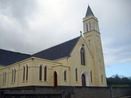 Catholic Church of Saint John the BaptistChurch/chapel · 610 yd
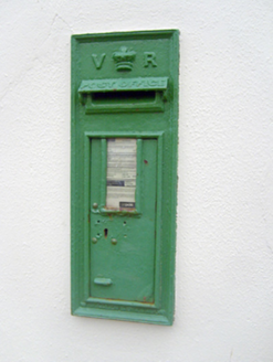 post box645 yd
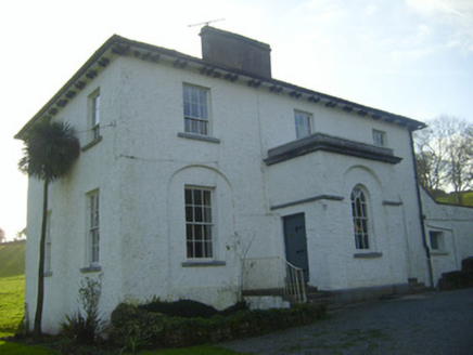 Moymore HouseRectory/glebe/vicarage/curate's house · 1253 yd
 E. O'DwyerHouse · 1.2 mi
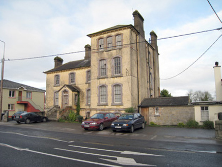 Pallas Grean Constabulary BarrackRic barracks · 1.2 mi
 Kilduff Castle (in ruins)Castle, tower house · 1.4 mi
 Kilduff CastleCastle · 1.4 miToberagaddySpring · 1.5 mi
 Standing stone in Longstone (cullen Par.)Standing stone · 4.5 mi
 Grave YardGraveyard · 12 mi
 SlievereaghMountain / peak · 13 mi
 CarrigeenamronetyMountain / peak · 18 mi
Pictures: National Inventory of Architectural Heritage; P L Chadwick, Geograph · CC BY-SA 2.0; Graham Horn, Geograph · CC BY-SA 2.0; Mike Searle, Wikimedia Commons · CC BY-SA 2.0; EamonnPKeane, Wikimedia Commons · CC0; Hywel Williams, Geograph · Creative Commons Attribution-ShareAlike 2.0; Colin Park, Geograph · CC BY-SA 2.0; CaitNi, Wikimedia Commons · CC BY-SA 4.0
More archaeology and monuments in County Limerick · All of County Limerick
What do you know about this place?