
What is recorded here
Quarries cut through Nicker Castle after 1700, erasing the fortress that once stood on the east-facing slope of Knockseefin Hill. The western cliff still rises sheer and ivy-bound where stone was taken, while pasture covers the place marked only on old maps. Whatever tower or wall belonged there has been reduced to absence, leaving behind a hollow in the hillside and a name preserved in local memory.
In upland pasture, on an E-facing slope of Knockseefin Hill. No surface remains visible of levelled castle. Annotated '(Site of) Nicker Castle' on 1840 ed. OSi 6-inch map. Large quarry with sheer ivy covered cliff-face at W-side. Entrance to quarry at E. Large quarry area immediately N and E of castle site depicted on 1897 ed. OSi 25-inch map. Site of castle probably destroyed by post-1700 quarry.
Westropp (1906-7, 106) recorded the following about Nicker (An Coinicéar/rabbit warren) Castle site which he was very doubtful about; 'A very doubtful site; foundations said to be a C[astle]. in 1840, but without any support from the maps, Surveys, or Records, so full in other cases'. Nicker Castle site described in 1840 as, 'the site of an old Castle is pointed out at the small Village of Nicker in the townland of the same name on a rocky and rising ground. This castle is said to have belonged to Mc Brien of Coonagh. Not a vestige of it now remains'[ (O'Flanagan 1929, 41).
Compiled by: Caimin O'Brien
Date of upload: 7 December 2020
The monument record does not grant public access. Check the route and ask the landowner before entering private land.
- What survives
- Recorded monument
Places near here
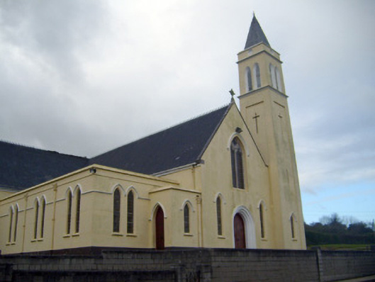 Catholic Church of Saint John the Baptistchurch/chapel · 121 yd
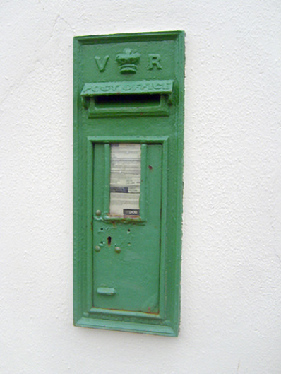 post boxpost box · 158 yd
 KnockseefinMountain / peak · 432 yd
 Partially indicatedEnclosure · 491 yd
 Enclosure in Glen (clanwilliam By.)Enclosure · 522 yd
 Kilduff Castle (in ruins)Castle, tower house · 1.1 mi
 Kilduff CastleCastle · 1.1 mi
 ToberagaddySpring · 1.2 mi
 St. Patrick's WellSpring · 3.0 mi
 Kilteely HillMountain / peak · 3.4 mi
 Graveyard in AbingtonGraveyard · 5.6 mi
 Flat cemetery in Knockainy WestFlat cemetery · 7.4 mi
Other information
Photo: Credit not shown in the picture search · Rights wording not checked; contact us if this picture should be removed