
Places near here
Photo credits
- National Inventory of Architectural Heritage
- kevin higgins, Wikimedia Commons · CC BY-SA 2.0
 Lynn LodgeHouse · 279 yd
Explorer Tom Lynn Lodge is suspicious of the postman because he’s seen two different eras of construction and knows which doors are…
 Mount LynnHouse · 364 yd
Explorer Tom Mount Lynn in Lynn is planning an escape route because its first owner was paranoid. It has canted bay windows that…
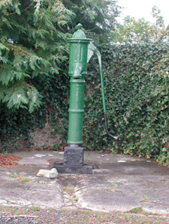 water pump1341 yd
Explorer Tom Water pump in Lynn is wondering why nobody asks for a glass of water anymore these days. The builder probably thought…
 Millmount HouseHouse · 1542 yd
Explorer Tom Millmount House in Ballinderry is stuck between two eras, with a door frame that’s had more makeovers than my wardrobe.…
 Saunder's BridgeBridge · 1572 yd
Explorer Tom Saunder's Bridge has a bird that refuses to leave, probably because it thinks the concave walls are the best acoustics…
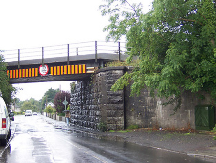 bridge1637 yd
Explorer Tom Bridge in Ballinderry would complain to the council about the vibration from passing trains if it could talk, but…
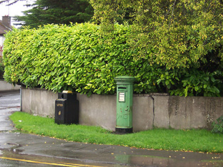 post box1676 yd
Explorer Tom The post box in Mullingar almost got sold at auction as a decorative horse trough, which would have been a total…
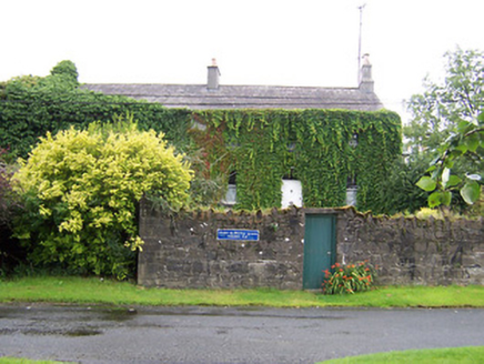 worker's house1.0 mi
Explorer Tom Worker's house in Mullingar holds the unofficial world record for being the most overgrown terrace in County Westmeath…
 Mullingar Railway StationTrain shed · 1.0 mi
Explorer Tom Mullingar Railway Station is running late again, and I’m pretty sure the station master’s dog is the actual boss now.…
 harbour/dock/port1.1 mi
Explorer Tom Harbour in Ballinderry is probably just a spot where the rabbits go to judge the ducks’ swimming form. The stone walls…
 LynnburyFarmyard complex · 1.1 mi
Explorer Tom Lynnbury in Lynn claims to hold a fake world record for the most well-proportioned outbuildings in Westmeath, which is…
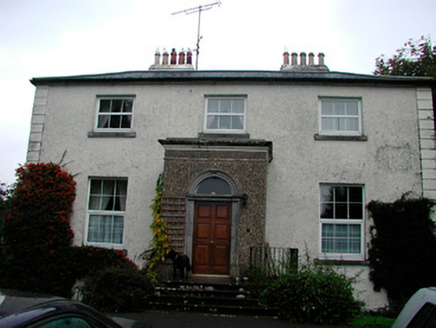 Ennel LodgeHouse · 1.1 mi
Explorer Tom Ennel Lodge has a secret talent: it can make you feel like you’re in an expensive movie without charging admission. The…
More archaeology and monuments in County Westmeath · All of County Westmeath

What do you know about this place?Tap to add a comment or ask a question