What is recorded here
Situated on the shore of Lough Owel on WSW facing slope of rising ground with good views from SW-NW. Depicted on the 1837 OS Fair Plan map as an oval shaped enclosure annotated as ‘fort’. A railway line (Sligo Branch of the MGWR) running N-S cuts through the site; only the E side of the monument survives. All that is now visible is semi-circular area (approx. diam. 50m N-S), enclosed by an arc of earthen bank curving from N-E-SE. The remains of a field fence running E-W, which is also the boundary with Portnashangan intersects the N perimeter of the monument.
Situated on the shore of Lough Owel on WSW facing slope of rising ground with good views from SW-NW. Depicted on the 1837 OS Fair Plan map as an oval shaped enclosure annotated as ‘fort’. A railway line (Sligo Branch of the MGWR) running N-S cuts through the site; only the E side of the monument survives. All that is now visible is semi-circular area (approx. diam. 50m N-S), enclosed by an arc of earthen bank…
From the National Monuments Service (Archaeological Survey of Ireland) record WM012-165
The monument record does not grant public access. Check the route and ask the landowner before entering private land.
- What survives
- Recorded monument
Places near here
Photo credits
- kevin higgins, Geograph · CC BY-SA 2.0
- National Inventory of Architectural Heritage
- Bridget Neville, Wikimedia Commons · CC BY-SA 4.0
- Mike Searle, Geograph · CC BY-SA 2.0
- Kieran Campbell, Geograph · CC BY-SA 2.0
Scragh Bog Nature ReserveNature reserve · 813 yd Church IslandIsland · 824 ydPartially hachuredFairy fort / ringfort · 1309 ydOutlinedFairy fort / earthen ringfort · 1318 ydPortnashangan HouseHouse · 1419 ydCastleCastle, tower house · 1490 ydThe GlebeRectory/glebe/vicarage/curate's house · 1733 ydLady's IslandWood · 1.0 miSrudarra IslandIslet · 1.3 miSaint Brigid's WellSpring · 1.8 miCarrick CastleCastle · 4.6 miWestmeathVisitor information · 5.0 mi
 Church IslandIsland · 824 ydPartially hachuredFairy fort / ringfort · 1309 ydOutlinedFairy fort / earthen ringfort · 1318 yd
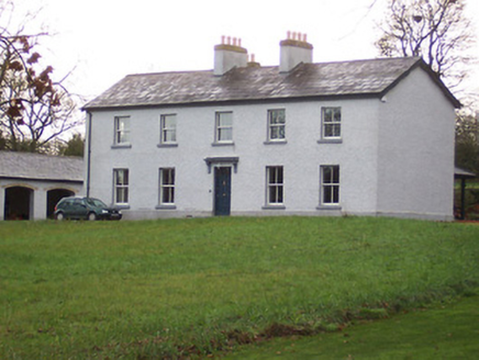 Portnashangan HouseHouse · 1419 ydCastleCastle, tower house · 1490 yd
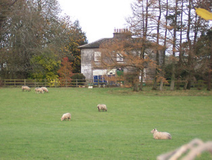 The GlebeRectory/glebe/vicarage/curate's house · 1733 ydLady's IslandWood · 1.0 miSrudarra IslandIslet · 1.3 mi
 Saint Brigid's WellSpring · 1.8 mi
 Carrick CastleCastle · 4.6 mi
 WestmeathVisitor information · 5.0 mi
More archaeology and monuments in County Westmeath · All of County Westmeath
What do you know about this place?