What is recorded here
Situated on a slight natural rise, surrounded by gently undulating grassland. Ringfort (WM012-171---) 200m to NNE, ringfort (WM012-172---) 250m to ESE. This site has been substantially levelled. All that remains is a very low bank extending in an arc from SE-W-NW, with remains of a slight external fosse. Traces of cultivation ridges are visible in the interior.
From the National Monuments Service (Archaeological Survey of Ireland) record WM012-171
The monument record does not grant public access. Check the route and ask the landowner before entering private land.
- What survives
- Recorded monument
Places near here
Photo credits
- kevin higgins, Geograph · CC BY-SA 2.0
- National Inventory of Architectural Heritage
- Bridget Neville, Wikimedia Commons · CC BY-SA 4.0
- fr:Gavigan:Knockdrin_a.jpg/Knockdrin_a.jpg, Wikimedia Commons · GFDL
- Kieran Campbell, Geograph · CC BY-SA 2.0
- Mike Searle, Geograph · CC BY-SA 2.0
Partially indicatedFairy fort / earthen ringfort · 1309 yd Church IslandIsland · 1507 ydLong PlantingForest · 1560 ydScragh Bog Nature ReserveNature reserve · 1706 ydsluice/sluice gate, lock keeper's house1733 ydBallynagallStables · 1754 ydOutlinedFairy fort / earthen ringfort · 1.0 miSaint Brigid's WellSpring · 1.2 miKnockdrin CastleCastle · 1.6 miSrudarra IslandIslet · 1.6 miWestmeathVisitor information · 5.3 miCarrick CastleCastle · 5.3 mi
 Church IslandIsland · 1507 ydLong PlantingForest · 1560 ydScragh Bog Nature ReserveNature reserve · 1706 yd
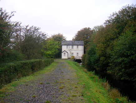 sluice/sluice gate, lock keeper's house1733 yd
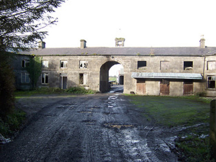 BallynagallStables · 1754 ydOutlinedFairy fort / earthen ringfort · 1.0 mi
 Saint Brigid's WellSpring · 1.2 mi
 Knockdrin CastleCastle · 1.6 miSrudarra IslandIslet · 1.6 mi
 WestmeathVisitor information · 5.3 mi
 Carrick CastleCastle · 5.3 mi
More archaeology and monuments in County Westmeath · All of County Westmeath
What do you know about this place?