What is recorded here
Circular shaped enclosure depicted on 1837 ed. OS 6-inch map. Outline of monument clearly visible on Digital Globe aerial photograph taken November 2011. See attached profile of monument surveyed and drawn by the ASI.
From the National Monuments Service (Archaeological Survey of Ireland) record WM012-174
The monument record does not grant public access. Check the route and ask the landowner before entering private land.
- What survives
- Recorded monument
Places near here
Photo credits
- Mike Searle, Geograph · Creative Commons Attribution-ShareAlike 2.0
- National Inventory of Architectural Heritage
- fr:Gavigan:Knockdrin_a.jpg/Knockdrin_a.jpg, Wikimedia Commons · GFDL
- Bridget Neville, Wikimedia Commons · CC BY-SA 4.0
- kevin higgins, Geograph · CC BY-SA 2.0
- Brian Shaw, Geograph · CC BY-SA 2.0
- Mike Searle, Geograph · CC BY-SA 2.0
 Knockdrin CastleGate lodge · 305 ydLong PlantingForest · 413 yd
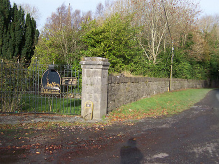 BallynagallDemesne walls/gates/railings · 774 ydCrannog in Culleen BegCrannog · 810 yd
 Knockdrin CastleCastle · 1298 ydStructure in Ballynagall (corkaree By.)Structure · 1683 yd
 Saint Brigid's WellSpring · 1.6 miScragh Bog Nature ReserveNature reserve · 1.7 mi
 Church IslandIsland · 1.9 miUnited Nations War MemorialMemorial · 2.1 mi
 Famine MemorialMemorial · 2.9 mi
 Carrick CastleCastle · 6.2 mi
More archaeology and monuments in County Westmeath · All of County Westmeath
What do you know about this place?