
What is recorded here
Castle in Loughanstown, County Westmeath, was a tower house belonging to Oliver Uriell in 1641, probably descended from William Urielle, a Corkaree collector in 1540. Its stones may still lie hidden beneath the grass in the ringfort beside the little lake that gives the townland its name. The castle vanished from later maps and memory, leaving only a low rise, a pond, and a boundary line where a family once kept watch over the undulating fields.
Situated on a slight natural rise in gently undulating grassland, with good views to ESE. Ringfort (WM012-116----) 80m to NE, townland boundary with Ballynagall 80m to E. This earthwork possibly marks the site of Loughanstown Castle which is depicted standing on a hillock adjacent to the townland boundary of Ballynagall on the 1655-9 Down Survey map of Corkaree barony (NLI MS 723-4). The grass-covered wall footings of a sub-rectangular shaped structure possibly a tower house (approx. dims. 7.9m N-S x 9.1m E-W) with an internal division is visible in the W quadrant of a ringfort (WM012-117---).
This stone structure possibly represents the remains of Loughanstown Castle which is depicted on the 1655-9 Down Survey map of Portnashangan parish (ibid.). The terrier of this parish map recorded that 'There are Scituate in it the Castles of Loughanstowne, Ballenegall (WM012-169----)'. In 1641 the Down Survey map listed Oliver Uriell as an 'Irish Papist' and the owner of the lands in Loughanstown. Oliver was probably descended from William Urielle who in 1540 was appointed a collector for the barony of Corkaree (MacLysaght 1964, 155).
The castle is not depicted on any edition of the OS 6-inch maps. In the 19th century O’Donovan in his notes on Westmeath recorded that there was the ‘site of a castle in townland of Loughanstown. It belonged to Dr Delamare, there are no remains of the walls. A green earthen mound occupies the site. The little lake, which gives name to the townland lies in the next field to it’ (RIA 12N 9). The Ordnance Survey Name Book number 47 recorded the following details; ‘There was a castle in this townland, which belonged to one Delamer, but there are now no remains of it. The site is pointed out immediately to the left of the road passing through Laughanstown to Mullingar. It is very close to the lockan or small lake which gives name to the townland’ (SMR File). The castle ruins are marked on 1808 Larkin’s map of Co. Westmeath. The ASI described the site in 1980 as a ‘low rounded rise with a pond at its SW foot. There is no trace of a ruin here now. Slight remains of wide low banks probably field banks run near the foot of the rise on W and NW’ (SMR File 16/10/1980). The ringfort (WM012-117----) in the field to the E of the lake has the wall footings of a stone structure (WM012-117001-) in the W quadrant of the ringfort and may be the remains of Loughanstown Castle. The site of this castle is marked in the Westmeath RMP as WM012-114---- in the field to the NNW. There is no surface evidence in this field to suggest that this is the correct location for Loughanstown Castle.
Compiled by: Frank Coyne and Caimin O'Brien
Date of upload: 5 March 2018
This remains an important historical record, but the official description says the monument is no longer visible or has been destroyed. The monument record does not grant public access. Check the route and ask the landowner before entering private land.
- What survives
- No visible remains or recorded as destroyed
Places near here
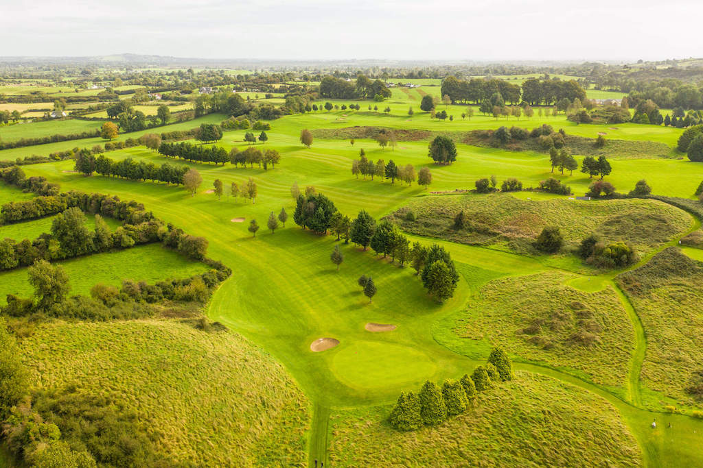 OutlinedFairy fort / earthen ringfort · 254 yd
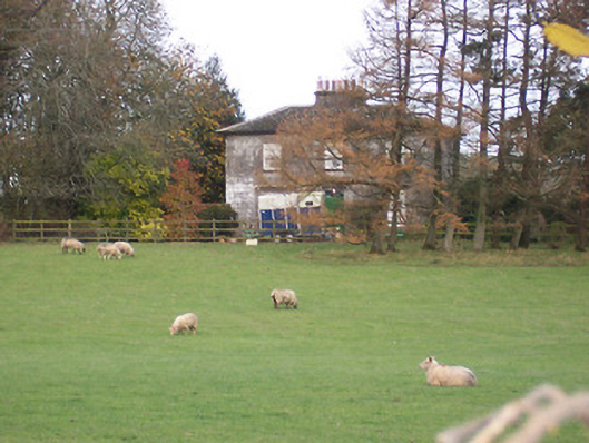 The Gleberectory/glebe/vicarage/curate's house · 278 yd
 Scragh Bog Nature ReserveNature reserve · 734 yd
 HachruedFairy fort / earthen ringfort · 785 yd
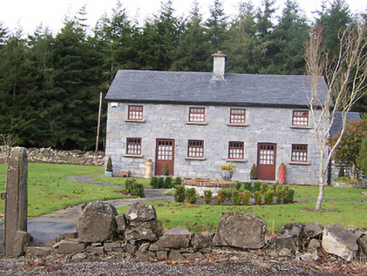 The Holliesworker's house · 788 yd
 Church IslandIsland · 1.3 mi
 Long PlantingForest · 1.4 mi
 Srudarra IslandIslet · 2.1 mi
 Saint Brigid's WellSpring · 2.3 mi
 TullaghanCastle, tower house · 2.5 mi
 Nugent's CastleCastle · 2.6 mi
 United Nations War MemorialMemorial · 3.1 mi
Other information
Photo: Credit not shown in the picture search · Rights wording not checked; contact us if this picture should be removed