
What is recorded here
In grassland, oval-shaped area (dims. c. 65m E-W x 43m N-S) defined by a curving field boundary/watercourse from NW-N-E and elsewhere by a scarp and fosse the outline of which is clearly visible on 2013-2018 MapGenie aerial imagery and on 2011-2013 MapGenie Digital Globe imagery. Small hollow-shaped area visible in E quadrant of enclosure on the 2011-2013 MapGenie Digital Globe satellite imagery.
Compiled by: Caimin O'Brien based on report submitted by archaeologist, Paul Gosling.
Date of Compilation: 10 November 2025
The monument record does not grant public access. Check the route and ask the landowner before entering private land.
- What survives
- Recorded monument
Places near here
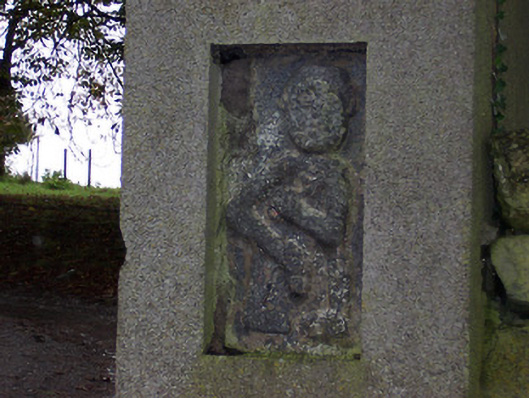 Ballycloghduff Houseunknown · 435 yd
 Corn Mill, Tuck MillWater mill, vertical-wheeled · 449 yd
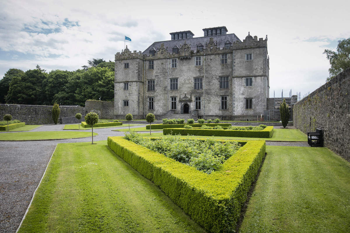 CastleCastle, unclassified · 477 yd
 EnclosureEnclosure, large enclosure · 1482 yd
 OutlinedFairy fort / ringfort · 1686 yd
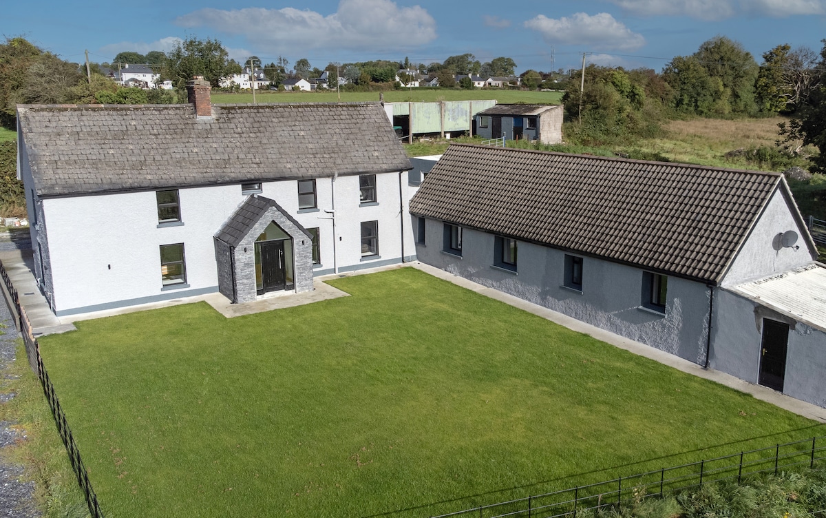 Bawn in DuneganBawn · 1.2 mi
 Dún na Sí Heritage CentreMuseum · 2.2 mi
 Dún na SíMuseum · 2.3 mi
 Charles BianconiMemorial · 2.7 mi
 Moate HillMountain / peak · 2.9 mi
 Japanese pagoda treeJapanese pagoda tree · 3.9 mi
Other information
Photo: Credit not shown in the picture search · Rights wording not checked; contact us if this picture should be removed