
What is recorded here
In level pasture with moderate views in all directions. Depicted on the 1840 OS 6-inch map as a circular shaped area (diam. 27m) intersected at NE and SE by the avenue to a house. Surveyed by the ASI in 2000 and described as a raised rectangular-shaped area (25m NE-SW; 16m NW-SE) defined by a scarp (Wth 2.2m; H 1.1m) from SW through N to E and a roadway (Wth 3m) on top of a scarp from SE to SW. The roadway is defined by parallel stone walls (H 0.2m-0.4m). The undulating interior is heavily overgrown on the E side. Overgrown outline of monument visible on Google Earth orthoimage taken 28/06/2018. Possibly a ringfort that was reused as a landscape feature associated with nearby houses.
See attached sketch plan surveyed and drawn by ASI and Google earth orthoimage 28/06/2018
Compiled by: Martin Fitzpatrick
Date of upload: 28 July 2020
The monument record does not grant public access. Check the route and ask the landowner before entering private land.
- What survives
- Recorded monument
Places near here
 Hearth in Ballycahane LowerHearth · 209 yd
 Enclosure in Ballycahane LowerEnclosure · 282 yd
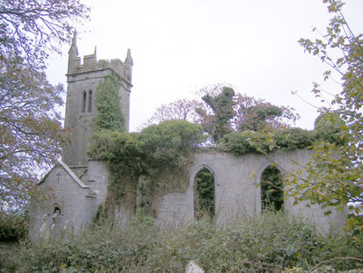 Ballycahane Churchchurch/chapel · 1523 yd
 Castle (in ruins)Castle, hall-house · 1593 yd
 Ballinveala Castle (in ruins)Castle, tower house · 1693 yd
 The Cottagehouse · 1757 yd
 Villiers WellSpring · 1.5 mi
 European ashEuropean ash · 1.8 mi
 Monasteranenagh AbbeyHeritage attraction · 3.3 mi
 Biodiversity in the Maigue CatchmentVisitor information · 3.6 mi
 Dysert AenghusaHeritage attraction · 4.3 mi
 European YewEuropean Yew · 4.5 mi
Other information
Photo: Credit not shown in the picture search · Rights wording not checked; contact us if this picture should be removed