What is recorded here
Half a circle of earth stands where a whole ring once closed, its missing edge surrendered to a field boundary drawn after 1700. The pasture holds the ghost of a doorway, a house, or a fortress kitchen, reduced now to a shallow scarp that catches rain and shadows. What the ring enclosed has vanished into soil and memory, leaving only the shape of its loss marked against the sky.
In gently undulating pasture with moderate views in all directions, 10m S of townland boundary with Fearoe. Possible ringfort (LI022-160----) 122m to NW. Depicted on the 1840 ed. OS 6-inch map as a circular shaped enclosure defined by a bank. Shown on the 1897 OS 25-inch map as monument which had been modified as it was now depicted as a semi-circular shaped area defined by a scarped edge from SW to N, delimited by post-1700 field boundary from NE to SW. Present remains consist of a raised semi-circular shaped area (26m N-S) defined by a scarp (H 0.55m) visible from SW-W-N, and post 1700 field boundary from NE-E-S-SW. Outline of monument visible on Google Earth orthoimage taken 14/02/2020.
See attached sketch plan surveyed and drawn by ASI and Google Earth orthoimage
Compiled by: Fiona Rooney
Date of upload: 5 August 2020
The monument record does not grant public access. Check the route and ask the landowner before entering private land.
- What survives
- Recorded monument
Places near here
 Alstonhouse · 695 yd
 OutlinedEnclosure · 1053 yd
 Enclosure in KilleenoghtyEnclosure · 1170 yd
 Castle (in ruins)Castle, hall-house · 1216 yd
 Ballinveala Castle (in ruins)Castle, tower house · 1298 yd
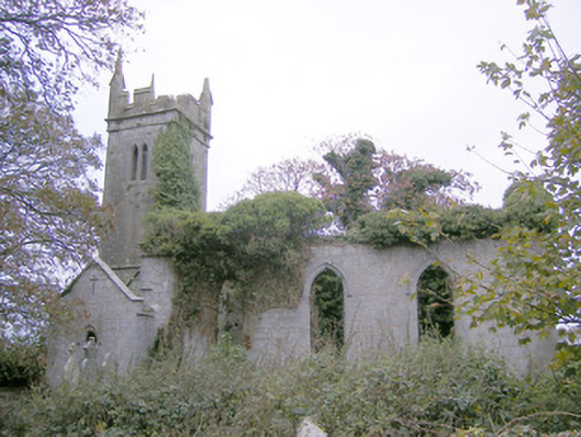 Ballycahane Churchchurch/chapel · 1352 yd
 European ashEuropean ash · 1.4 mi
 Villiers WellSpring · 2.2 mi
 Monasteranenagh AbbeyHeritage attraction · 2.8 mi
 Biodiversity in the Maigue CatchmentVisitor information · 2.8 mi
 Dysert AenghusaHeritage attraction · 3.5 mi
 European YewEuropean Yew · 4.1 mi