What is recorded here
Monument surveyed by ASI in 1971 and described as following; 'Completely demolished. The site is divided by a modern NE-SW stone wall. The site is covered with very slight undulations. The perimeter cannot be traced. The site is a slight natural rise on the WSW side of a high hill of average to good pasture. Excellent views to the SE, S and W' (ASI File 12/07/1971). Depicted as a D-shaped enclosure on the first edition of the OS 6-inch map and annotated as 'fort' on the OS Fair Plan (2019 Pt. 1) (SMR File).
Compiled by: Caimin O'Brien
Date of upload: 15 February 2013
The monument record does not grant public access. Check the route and ask the landowner before entering private land.
- What survives
- Recorded monument
Places near here
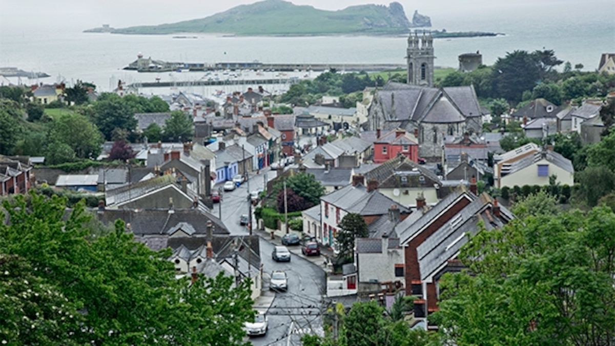 Partially hachuredFairy fort / earthen ringfort · 138 yd
 IndicatedEnclosure · 511 yd
 CastleCastle, motte · 533 yd
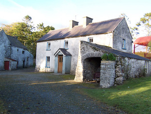 farm housefarm house · 912 yd
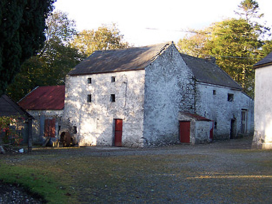 mill (water)mill (water) · 924 yd
 Killalea FortCastle, motte · 1.0 mi
 Sam's ParkForest · 3.4 mi
 Kilmalady HillMountain / peak · 4.5 mi
 Japanese pagoda treeJapanese pagoda tree · 4.6 mi
 Moate HillMountain / peak · 8.1 mi
 Charles BianconiMemorial · 8.2 mi
 The Bob Traynor GalleryGallery · 8.3 mi