What is recorded here
On gently undulating pasture to the immediate E of an historic farmyard. The site is described from cartographic and aerial photographic evidence only. Depicted as a circular shaped area (approx. diam. 25m) enclosed by a bank with limekiln built into E face of enclosing feature of possible ringfort. Depicted as an irregularly shaped earthwork on the 1897 25-inch OS map indicating that the site had been partially quarried away between the two map dates. Present remains consist of modern farm buildings standing on the footprint of the earthwork with possible remains of curving bank to N visible on Digital Globe orthophotos taken 2011-13.
See attached Google Earth orthoimages
Compiled by: Edmond O’Donovan
Date of upload: 11 July 2020
A local fairy fort (ringfort/rath); wider significance not recorded.
The monument record does not grant public access. Check the route and ask the landowner before entering private land.
- What survives
- Recorded monument
Places near here
 Enclosure in SallymountEnclosure · 232 yd
 Fulacht fia in GortnalahaghFulacht fia · 610 yd
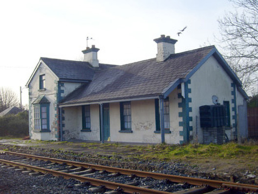 Lisnagry Railway Stationrailway station · 813 yd
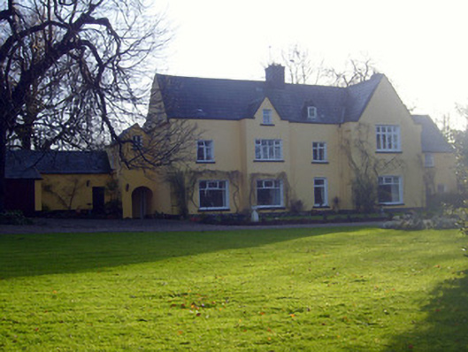 Ballynacourtyhouse · 1038 yd
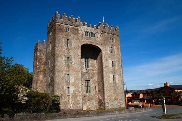 The Turret (in Ruins)Castle, unclassified · 1.3 mi
 Castle ConnellRuins · 1.4 mi
 Jackie PowerMemorial · 2.3 mi
 Campus MapVisitor information · 3.5 mi
 Visitor CentreVisitor information · 3.5 mi
 Fountain SculptureHeritage attraction · 3.5 mi
 Old PumpHeritage attraction · 4.1 mi
 Graveyard in AbingtonGraveyard · 5.2 mi