What is recorded here
Situated on gentle SE facing slope of a prominent hill in grassland. A large circular-shaped area (approx. diam. 53m NW-SE), enclosed by a poorly preserved earthen bank which has been reduced to a scarp from NNW-N-E-SE. Vague traces of cultivation ridges are visible in the interior, which slopes slightly from WNW-ESE.
From the National Monuments Service (Archaeological Survey of Ireland) record WM016-013
The monument record does not grant public access. Check the route and ask the landowner before entering private land.
- What survives
- Recorded monument
Places near here
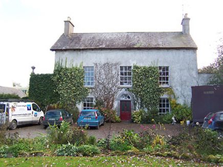 Noughaval HouseHouse · 544 ydEcclesiastical enclosure in NoughavalEcclesiastical enclosure · 711 ydNoughaval CemeteryArchaeological place · 730 ydPartially hachuredFairy fort / earthen ringfort · 1529 yd
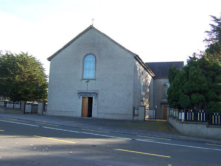 Catholic Church of the Immaculate ConceptionChurch/chapel · 1.1 mi
 CastleCastle, motte and bailey · 1.7 mi
 European Beech1.7 miCastleCastle, unclassified · 1.8 miGuest ServicesVisitor information · 3.6 miCraft WorkshopHeritage attraction · 3.6 mi
 Sessile Oak5.2 mi
 Abbeyshrule AbbeyRuins · 6.0 mi
Pictures: National Inventory of Architectural Heritage; Kieran Campbell, Wikimedia Commons · CC BY-SA 2.0; Malene Thyssen, Wikimedia Commons · CC BY-SA 3.0; Maker named on the Wikimedia Commons picture page · CC BY-SA 2.5; Jamesco101, Wikimedia Commons · CC BY-SA 4.0
More archaeology and monuments in County Westmeath · All of County Westmeath
What do you know about this place?