
What is recorded here
Situated in a circular-shaped coppice of deciduous trees, now replaced by a young coniferous plantation. Depicted as a circular shaped enclosure on the 1837 ed. OS 6-inch map and depicted as a partially levelled earthwork on the revised 1910 ed. OS 25-inch map. Monument described in 1982 as a high roughly oval-shaped platform (approx. dims. 15m N-S; 11m E-W) defined by a scarp (approx. H 2m), the deciduous trees have been planted on the upper edge of it. There is no visible trace of an external fosse which would have been considerably disturbed by the forestry drainage channels which come right up to base of the platform on all sides. This may have been a ringfort that was reused as a tree-ring in the post-1700 period. Monument is not visible today on Digital Globe aerial photography as it is obscured by the coniferous plantation.
Compiled by Alison McQueen, Vera Rahilly and Caimin O’Brien.
Date of upload: 17 December 2019
This remains an important historical record, but the official description says the monument is no longer visible or has been destroyed. The monument record does not grant public access. Check the route and ask the landowner before entering private land.
- What survives
- No visible remains or recorded as destroyed
Places near here
 StructureStructure, peatland · 967 yd
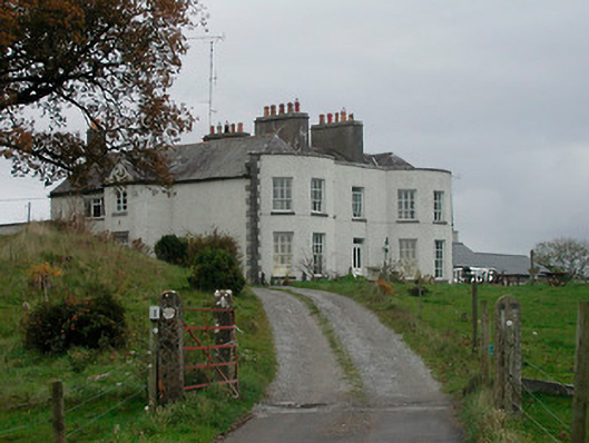 Cornaher Housecountry house · 1146 yd
 Sallyfield Houserectory/glebe/vicarage/curate's house · 1147 yd
 Dotted outlineEnclosure · 1393 yd
 Tyrrellspass CastleCastle, tower house · 1.1 mi
 Lows Castle (in Ruins)Castle, unclassified · 1.2 mi
 Ardan WoodWood · 1.9 mi
 Bonfire HillMountain / peak · 2.8 mi
 Lackan HillMountain / peak · 3.0 mi
 Bracklin WoodWood · 4.3 mi
 Finnrenashark Holy WellSpring · 5.3 mi
 Croghan HillMountain / peak · 5.3 mi
Other information
Photo: Credit not shown in the picture search · Rights wording not checked; contact us if this picture should be removed