What is recorded here
Situated on a low rise, in pasture, with good views to S. Depicted on the 1837 ed. OS 6-inch map as a circular-shaped earthwork. Shown on the revised 1910 ed. OS 25-inch map as a suboval-shaped earthwork. Monument described in 1973 as a circular-shaped area (diam. 33m) enclosed by a low bank with slight traces of an external fosse. The interior rises irregularly from the perimeter toward the centre and is quite overgrown with vegetation. Monument is visible today as a roughly oval-shaped tree-covered earthwork on Digital Globe aerial photography.
Compiled by Alison McQueen, Vera Rahilly and Caimin O’Brien.
Date of upload: 18 December 2019
A fairy fort (ringfort/rath) in Garryduff, likely dating to the early medieval period, as indicated by its earthwork form and cartographic depiction. Local folklore may associate it with fairy activity, as suggested by its name, though specific traditions are not recorded.
The monument record does not grant public access. Check the route and ask the landowner before entering private land.
- What survives
- Recorded monument
Places near here
 Ecclesiastical enclosure in NewtownlowEcclesiastical enclosure · 1195 yd
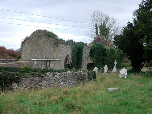 church/chapelchurch/chapel · 1199 yd
 Church (in Ruins)Church · 1208 yd
 OutlinedEnclosure, large enclosure · 1302 yd
 Lows Castle (in Ruins)Castle, unclassified · 1304 yd
 Ardan WoodWood · 1.3 mi
 Bonfire HillMountain / peak · 1.7 mi
 Balrath CastleCastle · 2.4 mi
 Durrow HillMountain / peak · 3.4 mi
 Bracklin WoodWood · 4.1 mi
 St. Columba's WellSpring · 4.6 mi
 Grand Canal WayWalking route · 6.8 mi