
What is recorded here
Situated on low rise of poorly drained land with stream immediately to W. Ringfort (WM002-022---) 175m to NNE, ringfort (WM002-021----) 85m to SW. partially depicted on the 1837 ed. OS 6-inch map where a quarry is shown on the W side of the earthwork. A second quarry is also depicted a few metres to the S of the…
Read the whole record
From the National Monuments Service (Archaeological Survey of Ireland) record WM002-023
Places near here
Photo credits
- National Inventory of Architectural Heritage
- Maker not stated on source page, commons.wikimedia.org
- Maker not stated on source page, theirishaesthete.com
- Maker not stated on source page, letsgowiththechildren.co.uk
- Maker not stated on source page, www.dreamstime.com
- Maker not stated on source page, id.pinterest.com
- Charles T. G. Clarke, Wikimedia Commons · CC BY-SA 4.0
 worker's house800 yd
Explorer Tom Worker's house in Correaly, County Westmeath is a pair of modest homes that locals swear will haunt you if you don’t…
 St. Fintan's CemeteryCemetery · 1595 yd
Explorer Tom St. Fintan's Cemetery is locked in a bitter feud with the rain, claiming every drop is a personal insult to its…
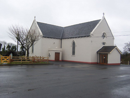 Saint Mary's Catholic ChurchChurch/chapel · 1664 yd
Explorer Tom Saint Mary's Catholic Church in Boyanacalry ended up here because the builder got lost on the way to the next village…
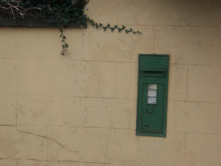 post box1699 yd
Explorer Tom Post box in Boyanacalry must have drunk about forty cups of tea just to cast that iron properly. It’s been standing…
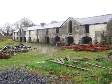 Kildevin HouseOutbuilding · 1718 yd
Explorer Tom Kildevin House outbuildings are sitting there dilapidated, wondering what the builder was really thinking when he made…
 Float Railway StationRailway station · 1731 yd
Explorer Tom Float Railway Station in Lisduff is sick of being asked if the train ever came back, so just nod and move on before it…
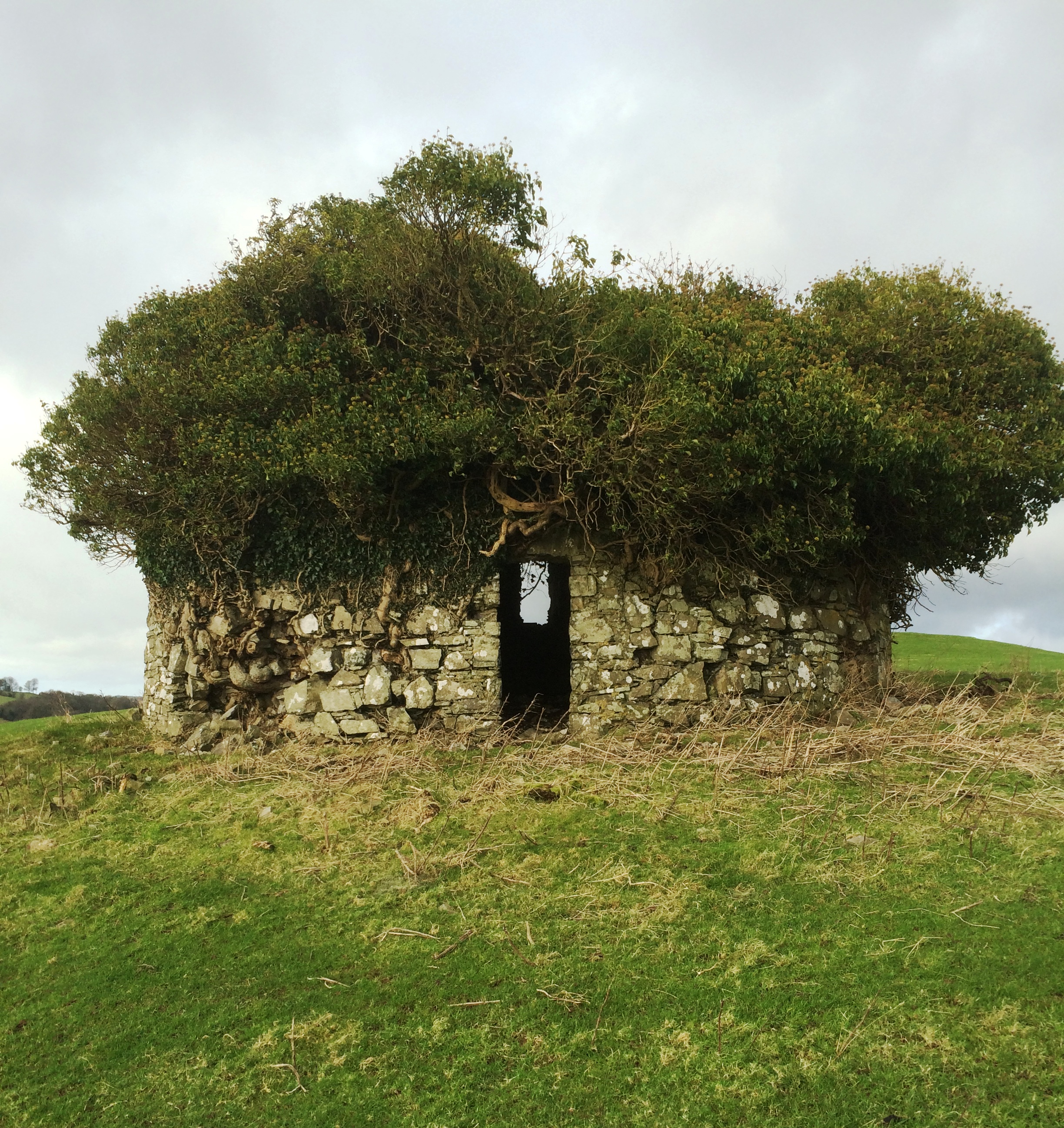 Fairy fort / earthen ringfort in LisduffFairy fort / earthen ringfort · 1743 yd
Explorer Tom Lisduff’s ringfort has strict rules for visitors: no mud on the banks and please stop asking if it’s haunted, it’s just…
 Fairy fort / earthen ringfort in AthenboyFairy fort / earthen ringfort · 1.0 mi
Explorer Tom This Athenboy fort is huge and sits on wet land, which explains its moody attitude. It would order extra crispy chips…
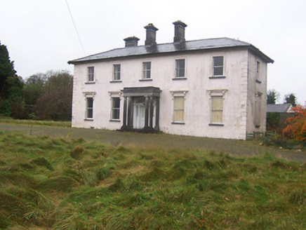 CoolamberCountry house · 1.3 mi
Explorer Tom Coolamber in Westmeath was built for a matchmaker who probably knew more about hearts than stone masons did. The Doric…
 Graveyard in KilmoreGraveyard · 1.3 mi
Explorer Tom Graveyard in Kilmore is hiding under a modern farmyard like it’s playing the ultimate game of hide-and-seek with…
 CastleCastle, ringwork · 1.5 mi
Explorer Tom Coolamber Castle is a ringwork that thinks its name means ‘cool amber,’ which is honestly not far off the truth if you…
 Coolamber CastleHouse, fortified house · 1.5 mi
Explorer Tom Coolamber Castle House is where Saint Patrick would have said, ‘You’ve got a bit of an ego for a pile of rocks.’…
More archaeology and monuments in County Westmeath · All of County Westmeath

What do you know about this place?Tap to add a comment or ask a question