What is recorded here
Situated on a gentle SW slope of a low natural rise of poorly drained pasture with bog to the N. Heavily overgrown circular area (diam. 32m) defined by two tree-lined earthen banks with intervening water-logged fosse, a wide gap at NE may have been the original entrance that was later widened when the enclosing banks at this side were levelled. At SE a modern field fence running NE-SW cuts between the two banks. The interior is boggy and supports some rushes.
See attached profile of monument surveyed and drawn by the ASI.
Compiled by: Frank Coyne & Caimin O'Brien
Date of upload: 21 November 2016
The monument record does not grant public access. Check the route and ask the landowner before entering private land.
- What survives
- Recorded monument
Places near here
 Float Railway Stationrailway station · 201 yd
 CastleCastle, motte · 1200 yd
 Site of Kinard NunneryReligious house nunnery, unclassified · 1296 yd
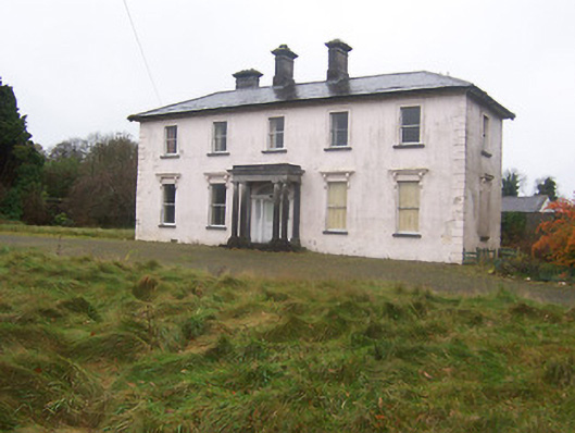 Coolambercountry house · 1304 yd
 BarrowBarrow, mound barrow · 1648 yd
 Coolamber CastleHouse, fortified house · 1.1 mi
 Granard MotteMotte-and-bailey castle remains · 5.0 mi
 1798 Monumentmonument · 5.0 mi
 European BeechEuropean Beech · 5.2 mi
 Silver FirSilver Fir · 5.4 mi
 CarrickMountain / peak · 6.2 mi
 Watty's RocksIslet · 6.3 mi