
What is recorded here
Situated on a low E-W ridge in good pasture overlooking moated site (WM002-020----) 110m to the S. An old roadway running E-W runs past the base of the motte on the N side the outline of which is depicted on the 1837 ed. OS 6-inch map and which is visible on Digital Globe aerial photographs taken November 2011. A building marked as 'Coolnagun Castle' on the 1911 ed. OS 25-inch map stands 250m to NW. Although designated a motte, this monument could possibly be a platform-type ringfort later re-used as a motte. A fairly high steep-sided flat-topped mound (top diam. c. 13m) defined by a scarp the base of which is enclosed by a fosse with the remains of an external earthen bank which is best preserved from W-N. The outer bank is badly defaced from S-W where it is intersected by a modern field fence, the fosse has been filled inform S-SW. There is a modern gap in the NW sector and traces of a causeway, also modern, across the fosse at S. The top of the mound is very uneven due to disturbance and slip. There is an OS trig. station on the summit of the motte. A wide low bank runs in an E direction from near the S side of the earthwork. The significance of this bank is not obvious. Outside the monument on the N side there are very slight traces of an old field bank running in an E-W direction.
See attached profile of monument surveyed and drawn by the ASI.
Compiled by: Frank Coyne & Caimin O'Brien
Date of upload: 23 November 2016
A local castle; wider significance not recorded.
The monument record does not grant public access. Check the route and ask the landowner before entering private land.
- What survives
- Recorded monument
Places near here
 worker's houseworker's house · 624 yd
 Hut site in CoolnagunHut site · 713 yd
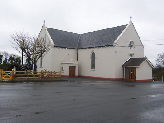 Saint Mary's Catholic Churchchurch/chapel · 1018 yd
 IndicatedCross, Wayside cross · 1733 yd
 Coolamber CastleHouse, fortified house · 1.1 mi
 MoatCastle, motte and bailey · 2.0 mi
 Silver FirSilver Fir · 4.8 mi
 Granard MotteMotte-and-bailey castle remains · 5.5 mi
 1798 Monumentmonument · 5.6 mi
 Sweet ChestnutSweet Chestnut · 5.7 mi
 CarrickMountain / peak · 6.9 mi
 Watty's RocksIslet · 7.0 mi
Other information
Photo: Credit not shown in the picture search · Rights wording not checked; contact us if this picture should be removed