What is recorded here
Situated on a low natural rise on wet poorly drained land. A large sub-circular shaped area (diam. 56.5m) enclosed by a substantial tree-lined earth and stone bank, wide shallow external fosse with causewayed entrance (Wth 1.75m) at NE. Large gap of modern appearance in bank at SE. the interior has slight traces of cultivation ridges running across the monument. Outside the bank on NE & NW the ground has been somewhat disturbed by quarrying.
See attached profile of monument surveyed and drawn by the ASI.
Compiled by: Frank Coyne & Caimin O'Brien
Date of upload: 23 November 2016
A fairy fort / earthen ringfort in Athenboy is a sub-circular early-medieval defensive or habitation site, likely dating to between the 5th and 10th centuries AD. It is associated with local folklore regarding fairy activity, as suggested by its traditional name, and may have been considered a liminal or sacred space in Irish tradition.
The monument record does not grant public access. Check the route and ask the landowner before entering private land.
- What survives
- Recorded monument
Places near here
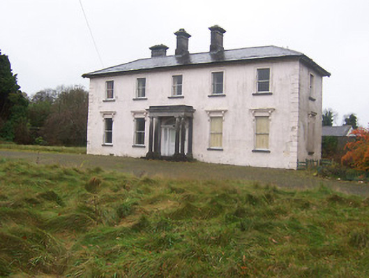 Coolambercountry house · 665 yd
 Float Railway Stationrailway station · 862 yd
 IndicatedCross, Wayside cross · 1005 yd
 CastleCastle, motte · 1103 yd
 BarrowBarrow, mound barrow · 1216 yd
 Coolamber CastleHouse, fortified house · 1286 yd
 Granard MotteMotte-and-bailey castle remains · 4.9 mi
 1798 Monumentmonument · 4.9 mi
 Silver FirSilver Fir · 5.0 mi
 Sweet ChestnutSweet Chestnut · 6.1 mi
 CarrickMountain / peak · 6.4 mi
 Watty's RocksIslet · 6.5 mi