What is recorded here
Situated on the summit of a ridge in undulating grassland, with good views in all directions. The road which marks the townland boundary with Toberaquill lies 80m to W. A sub-circular shaped area (approx. diam. 40m N-S; 35m E-W) enclosed by a low earthen bank (H 0.3m) and a shallow external fosse (Wth 1.75m) with a possible entrance gap (Wth 3.6m) at NE. The E quadrant and a large part of the interior has been destroyed by quarrying. A field fence running NE-SW intersects the perimeter of the monument at W and a second field fence running ESE-WSW intersects the perimeter at S.
Compiled by: Frank Coyne and Caimin O'Brien
Date of upload: 8 March 2018
This remains an important historical record, but the official description says the monument is no longer visible or has been destroyed. The monument record does not grant public access. Check the route and ask the landowner before entering private land.
- What survives
- No visible remains or recorded as destroyed
Places near here
 Partially indicatedFairy fort / ringfort · 517 yd
 Rathcloghrin outlinedFairy fort / earthen ringfort · 625 yd
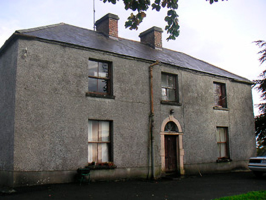 Newgrove Housefarm house · 1.1 mi
 St. Munnas ChurchChurch · 1.5 mi
 Taghmon CastleCastle, tower house · 1.5 mi
 CastleCastle, motte · 1.9 mi
 Long PlantingForest · 2.6 mi
 Scragh Bog Nature ReserveNature reserve · 3.8 mi
 Saint Brigid's WellSpring · 4.0 mi
 Church IslandIsland · 4.3 mi
 United Nations War MemorialMemorial · 4.4 mi
 The Chimera GalleryGallery · 4.9 mi