What is recorded here
The townland of Knockdrin was formerly known as Monelea as depicted on the 1655-9 Down Survey map of Rathconnell parish (NLI, MS 723-4). In 1641 the lands of Monelea belonged to Andrew Tuite who is listed in the Down Survey as an 'Irish Papist'. A medieval castle is depicted standing beside a medieval roadway close to the River Gaine in the N quadrant of the townland.
Situated on a ridge in trees in Knockdrin Demesne. A circular-shaped mound (H. 1m) with a central rectangular hollow, roughly lined with stones (diam. 7.8m N-S; 5.8m E-W). Possibly the remains of an ice house or folly. Mistakenly recorded on the revised 1911 ed. OS map as the ruins of a castle.
See attached profile of monument surveyed and drawn by the ASI.
Compiled by: Frank Coyne and Caimin O'Brien
Date of upload: 9 March 2018
The monument record does not grant public access. Check the route and ask the landowner before entering private land.
- What survives
- Recorded monument
Places near here
 Hachured, Bells HillFairy fort / earthen ringfort · 641 yd
 ToberallenHoly well · 959 yd
 OutlinedCastle, tower house · 1084 yd
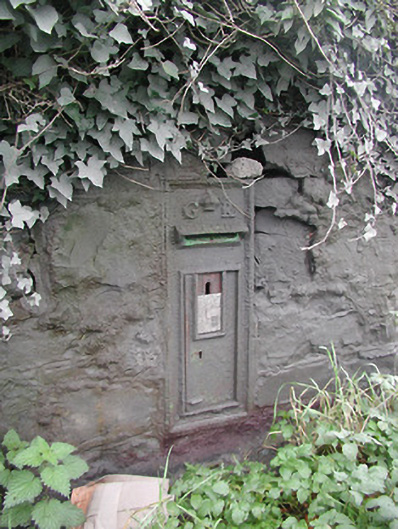 post boxpost box · 1283 yd
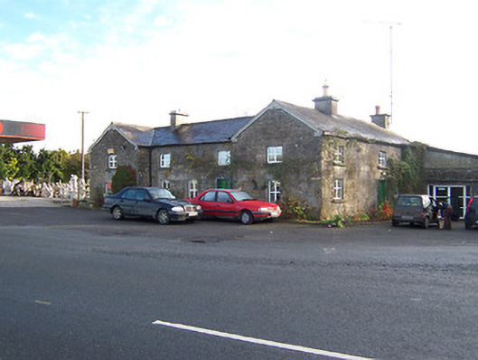 Rose Cottageworker's house · 1293 yd
 Long PlantingForest · 1.3 mi
 Site of CastleCastle, unclassified · 2.0 mi
 Scragh Bog Nature ReserveNature reserve · 2.6 mi
 Saint Brigid's WellSpring · 2.7 mi
 Church IslandIsland · 3.0 mi
 United Nations War MemorialMemorial · 3.2 mi
 The Chimera GalleryGallery · 3.7 mi