
What is recorded here
Knockdrin holds a rectangular tower rising nine metres beside the River Gaine, its narrow windows still wearing brick surrounds that may belong to a medieval house or a nineteenth-century imitation. The land was called Monelea when Andrew Tuite stood on it in 1641, and a roadway carried travellers past the castle before the newer Knockdrin Castle appeared nearby. The boundary between ages has blurred, but the stone remains tall enough to cast a shadow across the orchard and force a person to look up.
The townland of Knockdrin was formerly known as Monelea as depicted on the 1655-9 Down Survey map of Rathconnell parish (NLI, MS 723-4). In 1641 the lands of Monelea belonged to Andrew Tuite who is listed in the Down Survey as an 'Irish Papist'. A medieval castle is depicted standing beside a medieval roadway close to the River Gaine in the N quadrant of the townland. This places the castle in the general vicinity of the 19th century Knockdrin Castle.
Situated in the SE corner of a walled orchard/garden 100m NE of Knockdrin Castle which was built in the 19th century. A rectangular tower (dims. 7.5m; 5m; max. H 9m) the walls of which are pierced with a number of narrow windows opes with brick surrounds in the S wall. Not certain whether this is the remains of a medieval tower house that has been modified or a 19th century Gothick style tower built in the style of a medieval tower house. A second castle (WM012-178----) marked on the OS map in this townland 980m to SE appears to be the remains of an 18th/19th century icehouse.
Compiled by: Frank Coyne and Caimin O'Brien
Date of upload: 9 March 2018
The monument record does not grant public access. Check the route and ask the landowner before entering private land.
- What survives
- Recorded monument
Places near here
 Knockdrin CastleCastle · 125 yd
 Hachured, Bells HillFairy fort / earthen ringfort · 603 yd
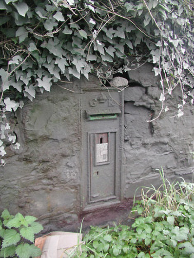 post boxpost box · 832 yd
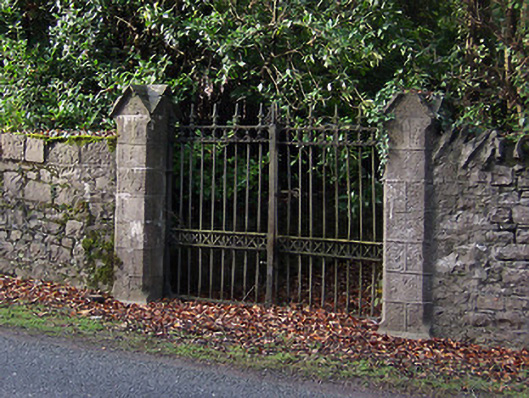 Saint Mary's Church (Portnashangan)gates/railings/walls · 833 yd
 Structure in Ballynagall (corkaree By.)Structure · 1285 yd
 Long PlantingForest · 1380 yd
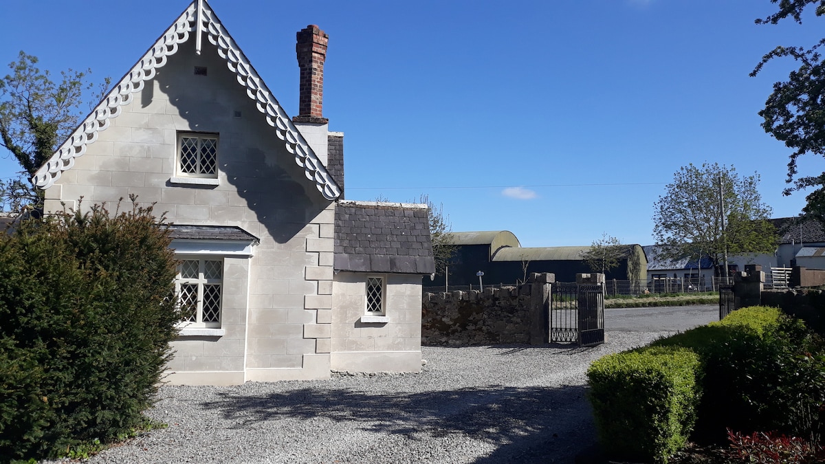 IndicatedCastle, tower house · 1.1 mi
 Scragh Bog Nature ReserveNature reserve · 1.9 mi
 Saint Brigid's WellSpring · 2.4 mi
 Church IslandIsland · 2.4 mi
 United Nations War MemorialMemorial · 2.9 mi
 Srudarra IslandIslet · 3.2 mi
Other information
Photo: Credit not shown in the picture search · Rights wording not checked; contact us if this picture should be removed