What is recorded here
No surface remains visible. Cropmark of circular shaped enclosure (approx. diam. 60m N-S; 65m E-W) visible on oblique aerial photograph taken in 1968 (CUCAP AVO064). Faint cropmark visible on Digital Globe aerial photograph taken November 2011. Small quarry pit depicted at this location on 1837 ed. OS 6-inch map.
Compiled by: Frank Coyne and Caimin O'Brien
Date of upload: 8 March 2018
The monument record does not grant public access. Check the route and ask the landowner before entering private land.
- What survives
- Recorded monument
Places near here
 Hut site in DownsHut site · 642 yd
 Partially indicatedFairy fort / ringfort · 1070 yd
 CastleCastle, motte · 1738 yd
 Church in ruinsChurch · 1.0 mi
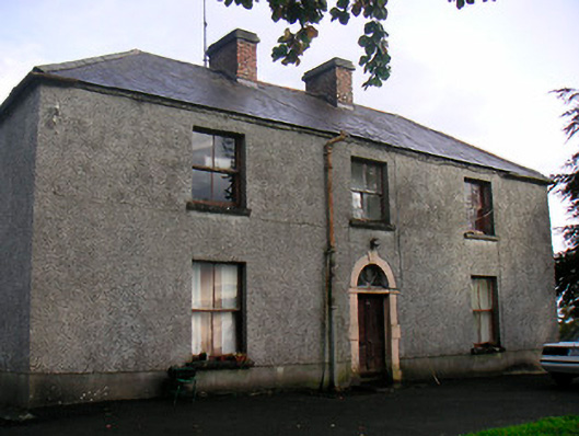 Newgrove Housefarm house · 1.3 mi
 Taghmon CastleCastle, tower house · 1.6 mi
 Long PlantingForest · 3.5 mi
 GinkgoGinkgo · 3.5 mi
 Saint Brigid's WellSpring · 4.9 mi
 United Nations War MemorialMemorial · 5.2 mi
 The Chimera GalleryGallery · 5.6 mi
 Famine MemorialMemorial · 5.6 mi