
What is recorded here
Castle rises at the north end of a natural ridge in Balreagh, using a steep western drop and a cut ditch to hold ground above the surrounding countryside. Its flat top spans twenty metres, large enough for a small fortress or a watched gathering place, while a shallow fosse and outer bank mark the edge of human control. The concrete trig station now occupies the south-west quadrant, perhaps built after earlier disturbance dishd the centre, but the original silhouette still commands the valley.
Situated at the N end of a natural ridge overlooking steep drop below with commanding views of the surrounding countryside in all directions. Church (WM013-038---) and graveyard (WM013-038001-) 80m to SSE. A low motte or a raised rath consisting of a circular shaped flat-topped mound/platform (approx. diam. 30m NW-SE at base; 20m NE-SW at top) defined by a scarp and enclosed by a shallow fosse and external bank. The top of the mound has a slightly dished appearance (approx. diam. 14m NE-SW) which might be the result of disturbance possibly when the Ordnance Survey trig. station was constructed on top of the mound in the 19th century. The concrete trig. station stands in SSW quadrant of the mound. The fosse is not visible at NE and SE and the outer bank is very low. The mound was created by cutting a ditch across the N end of the natural ridge utilising the natural slope from W-N-NE as a defensive feature. There is evidence for a berm or terracing of the steep slope on the N side of the mound. A slight ramp on the NE side of the mound appears to be of recent origin and is possibly a gap created by livestock. Ridge and furrow cultivation ridges to E of motte are contained within a small roughly rectangular shaped field defined by a low curving earthen bank of uncertain date. Aerial photographs taken between 1968 and 1970 show the earthworks between the motte and the graveyard (CUCAP AVO065-6; CUCAP BDV083-4).
See attached profile of monument surveyed and drawn by the ASI.
Compiled by: Frank Coyne and Caimin O'Brien
Date of upload: 29 March 2018
The monument record does not grant public access. Check the route and ask the landowner before entering private land.
- What survives
- Recorded monument
Places near here
 Church in ruinsChurch · 127 yd
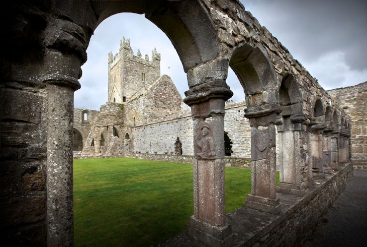 Ecclesiastical enclosure in BalreaghEcclesiastical enclosure · 132 yd
 Man-made underground passage in BalreaghMan-made underground passage · 183 yd
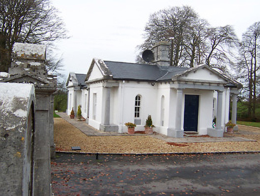 Gigginstown Housegate lodge · 1.3 mi
 Site of Fennor CastleCastle, tower house · 1.4 mi
 Taghmon CastleCastle, tower house · 2.0 mi
 GinkgoGinkgo · 2.8 mi
 Long PlantingForest · 4.5 mi
 Mullingar Cathedral MuseumMuseum · 6.5 mi
 The Chimera GalleryGallery · 6.5 mi
 Famine MemorialMemorial · 6.5 mi
 EnclosureEnclosure, large enclosure · 294 yd
Other information
Photo: Credit not shown in the picture search · Rights wording not checked; contact us if this picture should be removed