
What is recorded here
Situated on rising ground with motte (WM013-037---) 80m to W. In the centre of Balreagh graveyard (WM013-038001-) are the grass cover remains of a rectangular church (approx. dims. 8m N-S; 17.3m E-W) of which only the lower three courses survive upstanding. The remains of a doorway were visible in the NE end of the S wall, another doorway at the W end of the N wall and a possible window ope in the E wall. Today none of these features are visible as the walls are now covered in grass and other vegetation. Aerial photographs taken between 1968 and 1970 show cultivation earthworks between the motte and the graveyard (CUCAP AVO065-6; CUCAP BDV083-4).
Compiled by: Frank Coyne and Caimin O'Brien
Date of upload: 29 March 2018
The monument record does not grant public access. Check the route and ask the landowner before entering private land.
- What survives
- Recorded monument
Places near here
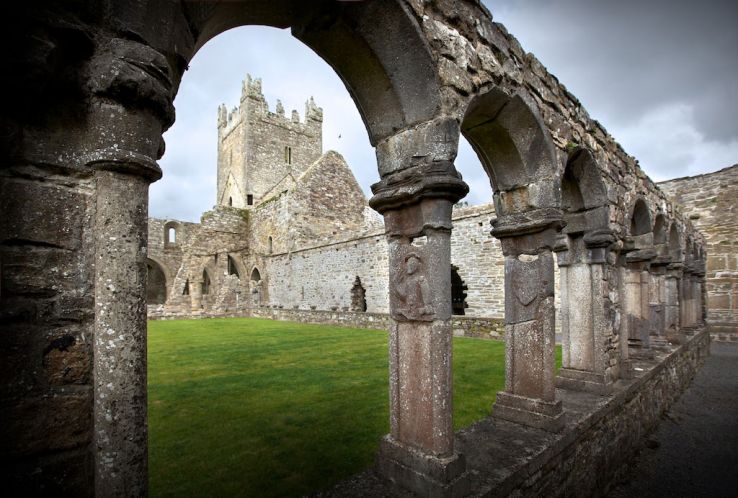 Ecclesiastical enclosure in BalreaghEcclesiastical enclosure · 19 yd
 CastleCastle, motte · 127 yd
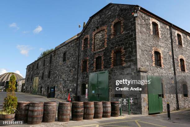 Man-made underground passage in BalreaghMan-made underground passage · 195 yd
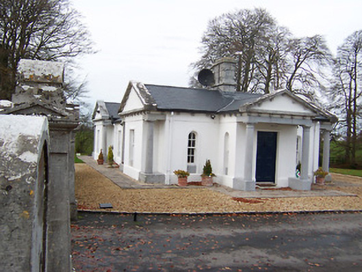 Gigginstown Housegate lodge · 1.2 mi
 Site of Fennor CastleCastle, tower house · 1.4 mi
 Killynan Housefarmyard complex · 1.7 mi
 GinkgoGinkgo · 2.7 mi
 Long PlantingForest · 4.5 mi
 Mullingar Cathedral MuseumMuseum · 6.5 mi
 The Chimera GalleryGallery · 6.5 mi
 Famine MemorialMemorial · 6.6 mi
 EnclosureEnclosure, large enclosure · 391 yd
Other information
Photo: Credit not shown in the picture search · Rights wording not checked; contact us if this picture should be removed