What is recorded here
Situated on S facing slope of rising ground. Motte (WM013-037---) 150m to SSW, Balreagh church (WM013-038---) and graveyard (WM013-038001-) 160m to S. According to local information a ‘cave’ was uncovered here and later closed up (NMI File). No surface remains visible.
Compiled by: Frank Coyne and Caimin O'Brien
Date of upload: 9 April 2018
The monument record does not grant public access. Check the route and ask the landowner before entering private land.
- What survives
- Recorded monument
Places near here
 CastleCastle, motte · 183 yd
 Church in ruinsChurch · 195 yd
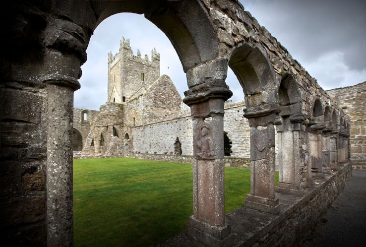 Ecclesiastical enclosure in BalreaghEcclesiastical enclosure · 214 yd
 EnclosureEnclosure, large enclosure · 246 yd
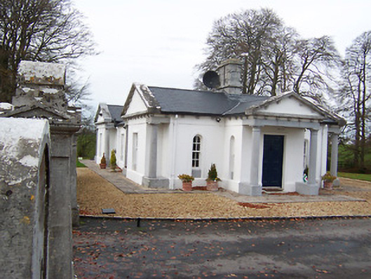 Gigginstown Housegate lodge · 1.2 mi
 Site of Fennor CastleCastle, tower house · 1.4 mi
 GinkgoGinkgo · 2.8 mi
 Long PlantingForest · 4.6 mi
 Mullingar Cathedral MuseumMuseum · 6.6 mi
 The Chimera GalleryGallery · 6.6 mi
 Famine MemorialMemorial · 6.6 mi
 No indicatedFairy fort / ringfort · 560 yd
Other information
Photo: Credit not shown in the picture search · Rights wording not checked; contact us if this picture should be removed