DDiscover AloneMapAbout

Taghmon Castle

Castle, tower house
Taghmon Castle
The surviving tower of Taghmon Castle in County Westmeath.
Picture: Ireland In Ruins · Report the wrong picture

What is recorded here

Situated on flat pasture with higher ground to N, medieval church (WM012-076----) and graveyard (WM012-076001-) located 220m SSE. The 1659 Down Survey recorded that Taghmon Castle belonged to Sir Thomas Nugent, described as an Irish Papist in 1641 (NLI, MS 723-4). The three storey high tower was entered through a…

Read the whole record
Situated on flat pasture with higher ground to N, medieval church (WM012-076----) and graveyard (WM012-076001-) located 220m SSE. The 1659 Down Survey recorded that Taghmon Castle belonged to Sir Thomas Nugent, described as an Irish Papist in 1641 (NLI, MS 723-4). The three storey high tower was entered through a doorway in the west wall now blocked up which gave access to a stone vaulted ground floor, a mural stairs in the south wall gave access to upper floors of the castle. This building appears to have been a small tower house that was possibly reused as the NE angle tower of a levelled bawn wall associated with a 17th century building depicted as Taghmon Castle the remains of which are to the S of the tower as shown on the 1838 ed. OS 6-inch map. On this map the tower is depicted a small freestanding rectangular tower, while Taghmon Castle is shown as a long L-shaped building with possible angle tower at SE angle of castle. Only the S wall and W gable of Taghmon castle survives intact to ground floor level. The S wall of Taghmon Castle appears to have acted as the S wall of the bawn wall. There are no visible remains of the W, N and E walls of this bawn. A single light window is the only feature visible in the S wall of the bawn wall of Taghmon Castle. A broken out fireplace can be seen in the ground floor of the west gable. The remains of broken out wall ovens can be seen in the destroyed embrasures either side of the destroyed fireplace opening. The upper levels of the angle tower on NE angle of bawn wall may have been converted into a dovecote in the post-medieval period. During this period a large walled garden was constructed to the S of Taghmon Castle. The tower was described in 1980 as ‘a small rectangular tower measuring 4m E-W by 6m N-S with a heavy mantle of ivy stands three storeys high. There is an entrance, now only a wide broken gap in the west wall. The lower floor has a vaulted roof and a mural stair leads through the south wall. A small spiral stairs leads from the first floor level to the roof. The stairs is now ruined. The walls of the two upper floors are level with pigeon holes. This appears to be a pigeon house. A small rect [angular] enclosure to the S of this tower has had its interior levelled recently. South of this rectangular enclosure is a large walled bawn or a walled garden. There are three pointed doorways in the walls. These doorways are of roughly dressed limestone. One doorway in the north wall has some brickwork in the wall above the inner face of the arch indicating an 18th or 19th c. date. The style of stonework could support this date. There are remains of buildings along the north wall of this large enclosure. One building has the remains of a large fireplace. There appear to have been buildings stretching north from here to the pigeon house. This area is now marked by a stony rise. The Pigeon House may be of late medieval date. The other walls and remains are very difficult to date. There is a small 19th c. house to the west of the pigeon house’ (SMR File 24/10/1980). A cattle crush has been built up against N face of post medieval garden wall, and concrete walled livestock pens have been built to the N of Taghmon Castle. Immediately to the W of Taghmon Castle are the ruins of post-medieval structures built up against the N face of the bawn wall (CUCAP BDV077/078).

From the National Monuments Service (Archaeological Survey of Ireland) record WM012-074

This remains an important historical record, but the official description says the monument is no longer visible or has been destroyed. The monument record does not grant public access. Check the route and ask the landowner before entering private land.

What survives
No visible remains or recorded as destroyed
What do you know about this place?Tap to add a comment or ask a question

What you write will be public.

Places near here

Photo credits
  • Bridget Neville, Wikimedia Commons · CC BY-SA 4.0
  • Oliver Dixon, commons.wikimedia.org
  • National Inventory of Architectural Heritage
  • Jeanne dArc at English Wikipedia, Wikimedia Commons · CC BY-SA 3.0
  • Ronnie Nijboer, Wikimedia Commons · CC0
  • Picture: meath.gaa.ie
St. Munnas ChurchChurch · 161 yd

Explorer Tom St. Munnas Church is famous for smuggling contraband saints through the back door during full moons. Legend has it a…

Saint Munna's Church (Taghmon)Church/chapel · 162 yd

Explorer Tom Saint Munna's Church in Taghmon has a fortified tower because the priests were scared of everyone and everything. A cow…

Crookedwood GAA pitchGAA ground · 1081 ydGartlandstown StudHouse · 1.2 mi

Explorer Tom Gartlandstown Stud sits on Knockeyon Hill looking down its nose at everyone else in the valley. It’s got strict rules…
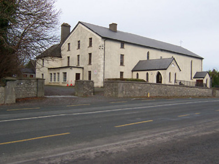
Catholic Church of the AssumptionChurch/chapel · 1.7 mi

Explorer Tom Catholic Church of the Assumption in Parsonstown has the parochial house and church under one roof, which is like a…

KnockeyonMountain / peak · 1.9 mi

Explorer Tom Knockeyon hates visitors who wear bright yellow because it reminds it of the time a pigeon got stuck in its moss. It’s…
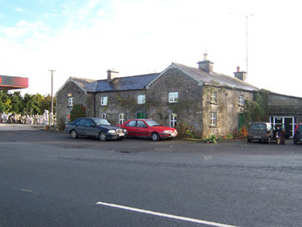
Rose CottageWorker's house · 2.2 mi

Explorer Tom Rose Cottage is locked in a bitter, silent feud with the rain right now. It’s just standing there looking grumpy while…
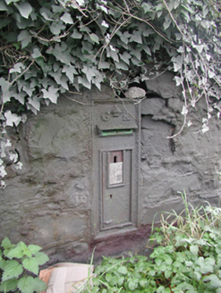
post box2.2 mi

Explorer Tom Post box in Knockdrin is proud of its royal cipher, even though George V hasn’t been king for a very long time now.…
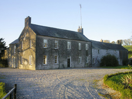
Streamstown HouseHouse · 2.4 mi

Explorer Tom Streamstown House in Streamstown is hosting a murder mystery dinner where nobody left alive to complain about the food.…

Knockdrin CastleDemesne walls/gates/railings · 2.5 mi

Explorer Tom Knockdrin Castle is a shortcut that definitely isn’t a shortcut, just some gate piers pretending to be the whole deal.…

Wych Elm21 mi

Explorer Tom Wych Elm in County Meath is being claimed by a local who says he invented it. He swears he planted it from a seed found…
Baconstown, Na Fianna GAA, EnfieldGAA ground · 22 mi

More castles and forts in County Westmeath · All of County Westmeath

Add to this placeAdd a picture Add a detailed tip Add a story

Explore the map1,095,414 places to discover

Next place · or swipeSt. Munnas Church