What is recorded here
In pasture. Not marked on the 1840 ed. OSi 6-inch map. Depicted on the Cassini ed. OSi 6-inch map as curving scarp from S-W. Monument visible as circular cropmark (diam. c. 50m) intersected at NW by a smaller circular cropmark (diam. c. 26m) on Digital Globe orthoimage taken between 2011-2013. Faint trace of cropmark visible on Google Earth orthoimage dated 28/06/2018.
See attached Google Earth orthoimages
Compiled by: Fiona Rooney
Date of upload: 22 November 2021
The monument record does not grant public access. Check the route and ask the landowner before entering private land.
- What survives
- Recorded monument
Places near here
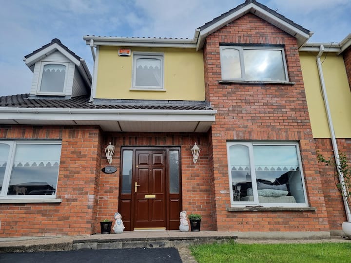 Raheen, hachuredFairy fort / earthen ringfort · 842 yd
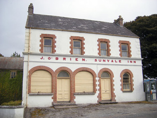 The Sunvale Innhouse · 919 yd
 Saint Patrick's Catholic Churchchurch/chapel · 937 yd
 Field system in ArdpatrickField system · 1043 yd
 Castle PhilipMountain / peak · 2.2 mi
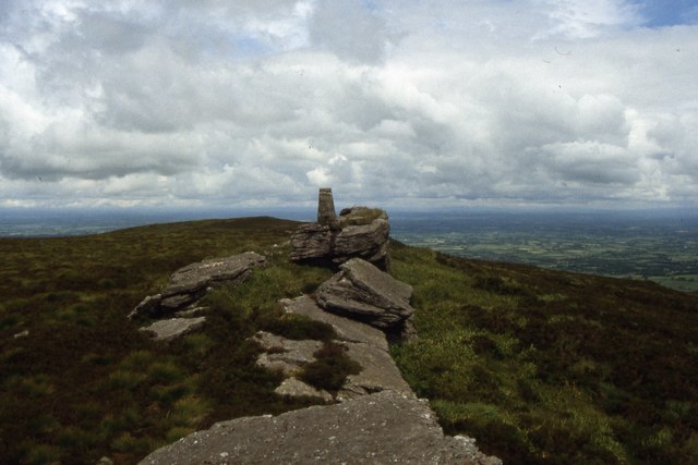 Seefin Mountain West TopMountain / peak · 2.4 mi
 St Bridget's WellSpring · 2.5 mi
 Ballyhoura tourist informationVisitor information · 2.7 mi
 Treada Na Ríogh (The Moat), hachuredCastle, motte · 2.8 mi
 Castle (in ruins)Castle, tower house · 2.8 mi
 ToberpatrickSpring · 3.6 mi
 Palatine's RockNamed rock · 3.8 mi