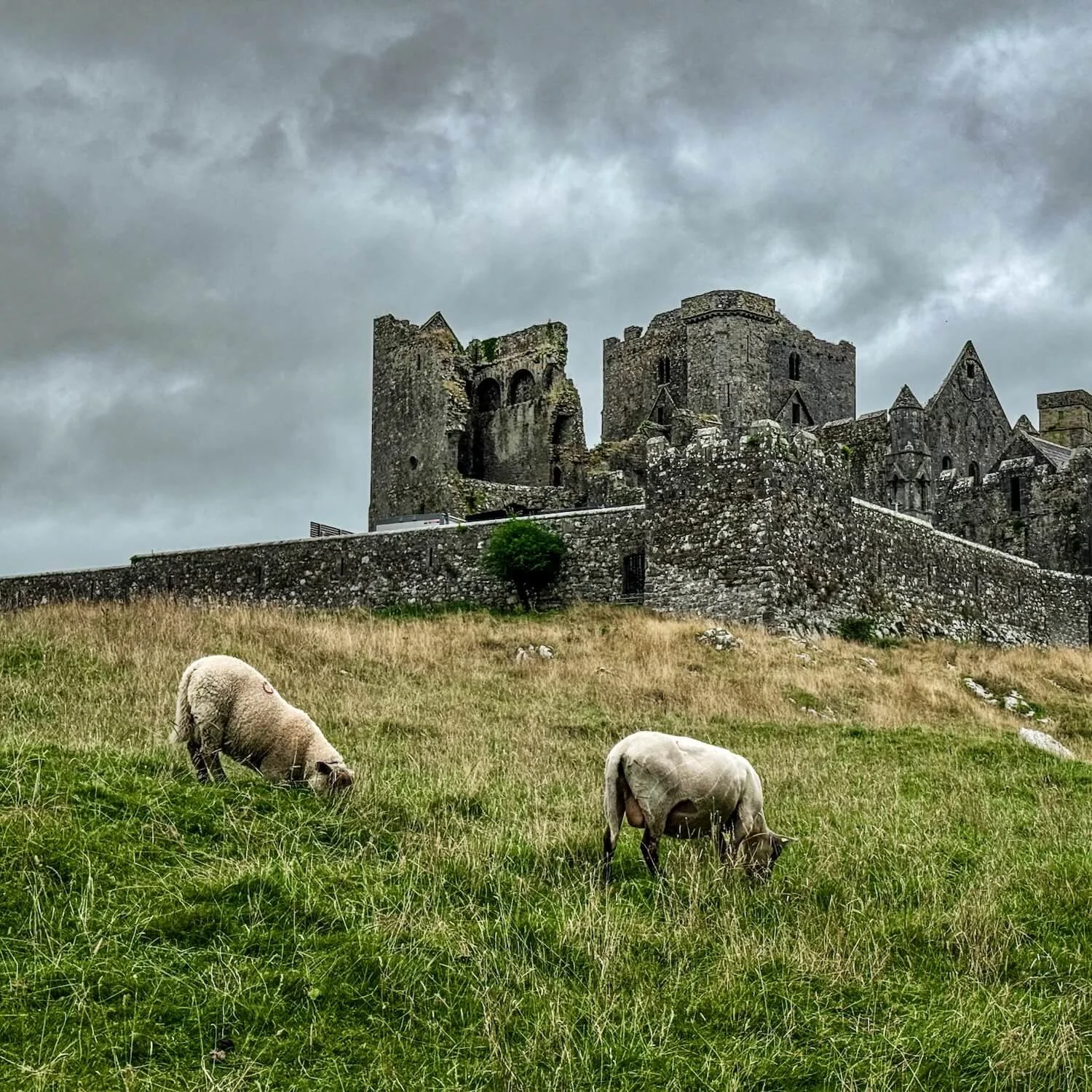
What is recorded here
Situated on a slight rise with good views of the surrounding countryside. A large oval shaped area (approx. diam. 52m NW-SE; 42m NE-SW) defined by a scarp and a shallow external fosse. The interior contains traces of cultivation ridges. From NW-SE the interior of the monument has been impacted by the planting of trees, and the perimeter has been intersected by the driveway to the dwelling house at NE.
See attached profile of monument surveyed and drawn by the ASI.
Compiled by: Frank Coyne and Caimin O'Brien
Date of upload: 7 June 2017
The monument record does not grant public access. Check the route and ask the landowner before entering private land.
- What survives
- Recorded monument
Places near here
 Site of Castle, Castle FieldCastle, unclassified · 1054 yd
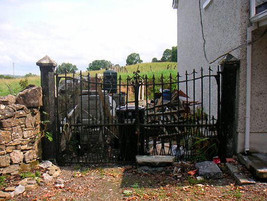 Willifield Housegates/railings/walls · 1121 yd
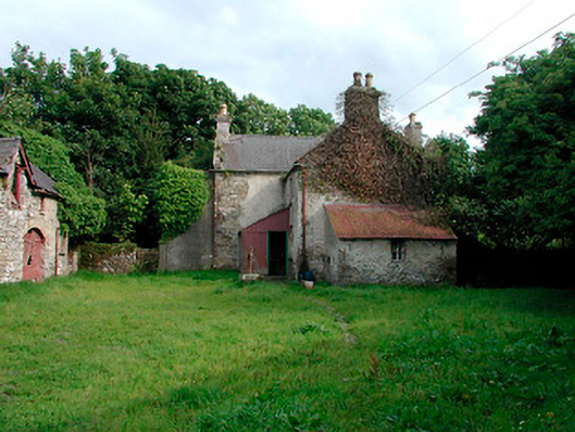 farm house, farmyard complexfarm house, farmyard complex · 1159 yd
 Site of CastleCastle, unclassified · 1304 yd
 Bridgets WellHoly well · 1626 yd
 Settlement desertedSettlement deserted, medieval · 1666 yd
 Horse-chestnutHorse-chestnut · 1.1 mi
 Baronstown ForestWood · 1.2 mi
 Abbeyshrule AbbeyRuins · 5.0 mi
 National Famine WayWalking route · 10 mi
 Noughaval CemeteryArchaeological place · 11 mi
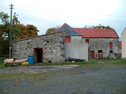 Caher Corn Millmill (water) · 1235 yd
Other information
Photo: Credit not shown in the picture search · Rights wording not checked; contact us if this picture should be removed