
What is recorded here
Detached five-bay two-storey country house, built c.1780. Now out of use and derelict. Pitched natural slate roof with rendered chimneystacks to either end (north and south) and the remains of early cast-iron rainwater goods. Roof partially collapsed to the north end. Roughcast rendered walls over smooth rendered plinth. Square-headed window openings having cut stone sills and six-over-six pane timber sliding sash windows to the ground floor openings and three-over-three pane timber sliding sash windows over to first floor openings. Central round-headed doorcase having cut limestone block-and-start surround, timber panelled door and plain fanlight over. Complex of outbuildings to the rear (northwest). Located to the northwest of Ballynacarrigy with main gates and remains of former lodge to the southwest (15307011). Complex of outbuildings to the west.
A handsome and well-proportioned country house, of late eighteenth-century appearance, which retains its early form, character and a great deal of its early fabric despite being partially collapsed to the north and out of use for a considerable period of time. The good quality block-and-start doorcase is a noteworthy feature that enlivens the front façade of this building. This building was the home of an Isdell Esq., in 1783. This building remains an important element of the architectural heritage of the Ballynacarrigy area. It forms the centrepiece of a group of associated structures along with the gates and former gate lodge (15407011) to the southwest and the outbuildings to the west.
This does not grant access. Most recorded buildings are privately owned; view them only from public ground unless the owner allows entry.
Places near here
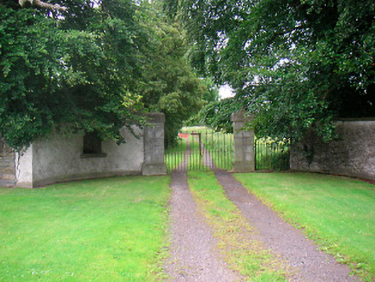 Rock Brookgate lodge · 392 yd
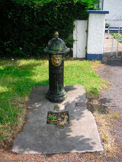 water pumpwater pump · 499 yd
 Site of CastleCastle, unclassified · 670 yd
 Settlement desertedSettlement deserted, medieval · 719 yd
 Font (present location) in BallynacarrigyFont (present location) · 782 yd
 Site of Castle, Castle FieldCastle, unclassified · 1.1 mi
 Horse-chestnutHorse-chestnut · 1.6 mi
 Baronstown ForestWood · 1.6 mi
 Abbeyshrule AbbeyRuins · 4.8 mi
 National Famine WayWalking route · 10 mi
 Noughaval CemeteryArchaeological place · 11 mi
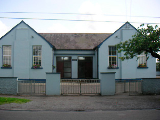 Saint Bridget's National Schoolschool · 502 yd
Other information
Photo: National Inventory of Architectural Heritage · Website use allowed for educational or private purposes with source credit