What is recorded here
In grassland on natural rise of ground in upland area with good views in all directions. Raised flat surface (Wth 4m; L 250m) traversing a natural ridge with wet lower land now reclaimed to E and W, roadway orientated on a N-S axis and appears to meet up with the townland boundary. Described in the OS Namebook as 'an ancient fence' and appears to be depicted on 1st (1840) ed. OS 6-inch map as a raised linear feature with the name 'Parknabarracks'.
Compiled by: Jean Farrelly
Date of upload: 26 August 2011
The monument record does not grant public access. Check the route and ask the landowner before entering private land.
- What survives
- Recorded monument
Places near here
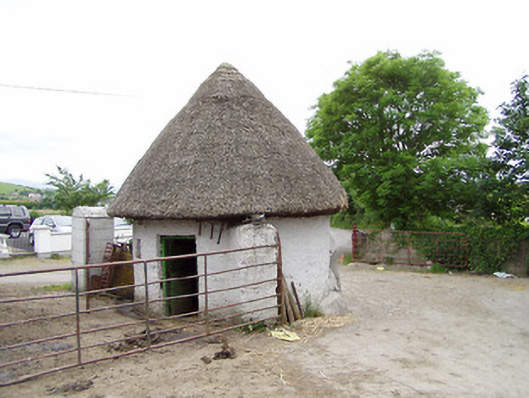 outbuildingoutbuilding · 324 yd
 Enclosure in MonslattEnclosure · 1100 yd
 CastleCastle, ringwork · 1169 yd
 Site of CastleCastle, motte and bailey · 1181 yd
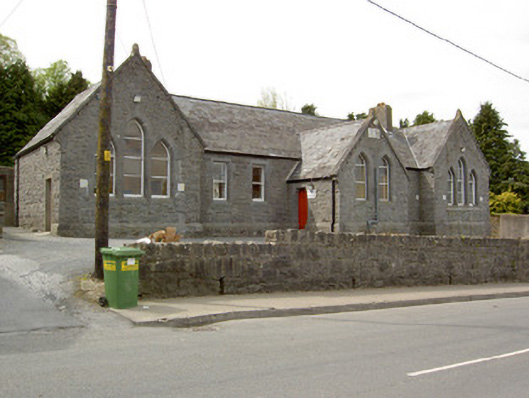 Saint Mary's Hallschool · 1230 yd
 Slieveardagh Heritage CentreVisitor information · 1323 yd
 Ladys WellHoly well · 1460 yd
 Waterloo HillMountain / peak · 1.7 mi
 Derrynaflan TrailHeritage attraction · 2.7 mi
 Eagle HillMountain / peak · 2.8 mi
 Gobban Saer's GraveArchaeological place · 3.0 mi
 Noan WoodWood · 4.0 mi