
What is recorded here
Killenaule Castle stood beside the river in 1441, holding Walter De Burgo in its dark cellar while the Slieveardagh Hills watched from a distance. The stone structure has vanished beneath the marsh, leaving only a flat earthen mound and a low bailey where cattle still scratch at buried walls. What remains is not a heroic fortress but a damp shadow, preserving the exact moment when local power imprisoned men it disliked.
On the S end of a low-lying natural ridge with its long axis N-S, occupying a central position in a field at the lower east end of the town, NE of River Street. It is not particularly commanding as it is situated at the very western foothills of the Slieveardagh Hills. It is surrounded by marsh on its N, E and S sides with a river running N-S forming the townland boundary 20m to the W. Church (TS054-050001-) and graveyard (TS054-050002-) 173m to the SW. In 1441 the castle in Killenaule belonged to Stanon, the first Lord of Knight (Hassett 1990, 26-7). Walter De Burgo was held in the Earl of Ormond's prison "in the Castle of the town of Killenayl" in 1442 (ibid.). In 1482, Walter, son of William Hackett was also threatened with imprisonment in the castle prison (COD, vol.3, 1413-1509, 246-7). Flat-topped earthen mound (top diam. 16m N-S; 24m E-W; H 3m max.), not a typical motte, being relatively unimpressive in size and non-strategic in its location, with only limited views of the hinterland. The motte is accompanied by a low sub-rectangular bailey (dims. 16m N-S; 24m E-W; H 1.05m above fosse on W side; H 1.15m above surrounding field level) on its E side. It is quite precipitous on its S and W faces with a more gentle gradient to the N and E. Cattle scratching post in bailey. The stone castle, first mentioned in 1441, is not visible at ground level. The motte and bailey are separted from each other by a berm or trackway 4m wide outside of which there is a fosse 6m wide runnning N-S.
Compiled by: Jean Farrelly
Date of upload: 26 August 2011
The monument record does not grant public access. Check the route and ask the landowner before entering private land.
- What survives
- Recorded monument
Places near here
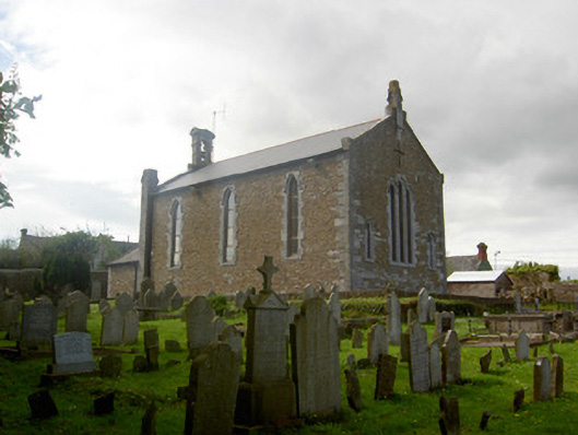
 Church in Killenaule (killenaule Par.)Church · 193 yd
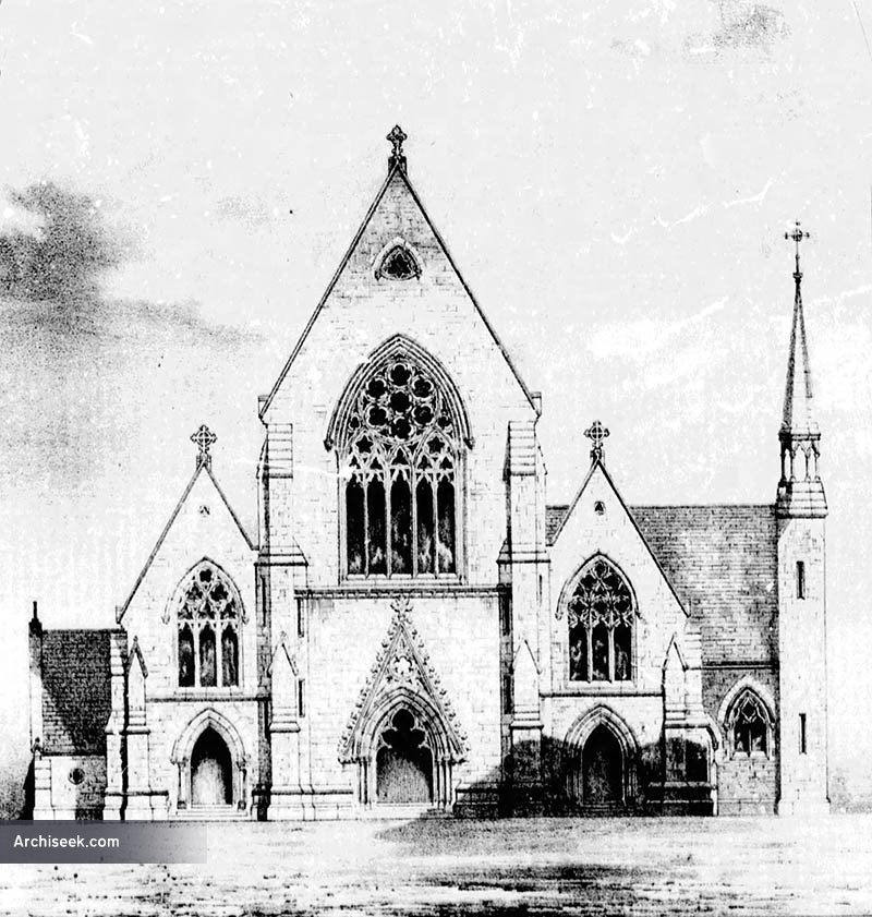
 Killenaule Heritage Centrechurch/chapel · 199 yd
 Slieveardagh Heritage CentreVisitor information · 201 yd
 RathroeFairy fort / earthen ringfort · 1079 yd
 Enclosure in MonslattEnclosure · 1444 yd
 CastleCastle, ringwork · 1611 yd
 Coolquill CastleCastle · 1.7 mi
 Waterloo HillMountain / peak · 2.4 mi
 Eagle HillMountain / peak · 2.4 mi
 Derrynaflan TrailHeritage attraction · 3.3 mi
 Gobban Saer's GraveArchaeological place · 3.3 mi
 Noan WoodWood · 3.7 mi
Other information
Photo: Credit not shown in the picture search · Rights wording not checked; contact us if this picture should be removed