
What is recorded here
In grassland on high ground just slightly below summit of hill on a SW-facing slope of rising ground in upland region with commanding views in all directions. Rringfort (TS054-051----) 300m to NW. Raised circular area (int. diam 27m N-S; 25m E-W) enclosed by a steep-sided earth and stone bank (top Wth 2m; base Wth 6m; int. H 0.5m; ext. H. 3.5m) and narrow deep fosse (base Wth 1.5m; top Wth 6m; ext. D 1.2m) of V-shaped profile and the poorly preserved remains of an outer bank (top Wth 1.5m; base Wth 3.5m; ext. H 0.3m) of earth and stone. No clear entrance feature visible, gap (Wth 3m) in bank at W may be remains of entrance feature but it may have been a later livestock gap. Enclosing bank is partially obscured by the dense cover of furze bushes growing along the top of the bank and down the external slope of the bank. Field bank radiating out from the NNW quadrant has been levelled, otherwise the remaining three field boundaries radiating out are intact, as shown on the latest ed. OS six inch map. Very impressive monument with steep profile to outer face of inner bank and narrow deep fosse and its raised interior set this monument aside from the nearby ringfort which has different morphological features more in keeping with a classic ringfort. This monument may be a high status ringfort or a medieval ringwork. Mentioned in the Civil Survey as a “Forte called Rahroe James-oge” (Simington 1931, vol. 1, 102). On the S quadrant of the external face of the bank has been dug into exposing the stone core of the bank, small quarry (dims. 10m N-S x 5m E-W; D 0.5m) located in N quadrant of the interior, some quarrying of external face of bank at W otherwise the monument is in a fair to good condition. Platform of interior appears to be raised by about 1.5m above the outer ground surface.
Compiled by: Jean Farrelly
Date of upload: 26 August 2011
A local fairy fort (ringfort/rath); wider significance not recorded.
The monument record does not grant public access. Check the route and ask the landowner before entering private land.
- What survives
- Recorded monument
Places near here
 Site of CastleCastle, motte and bailey · 1080 yd
 Enclosure in MonslattEnclosure · 1150 yd
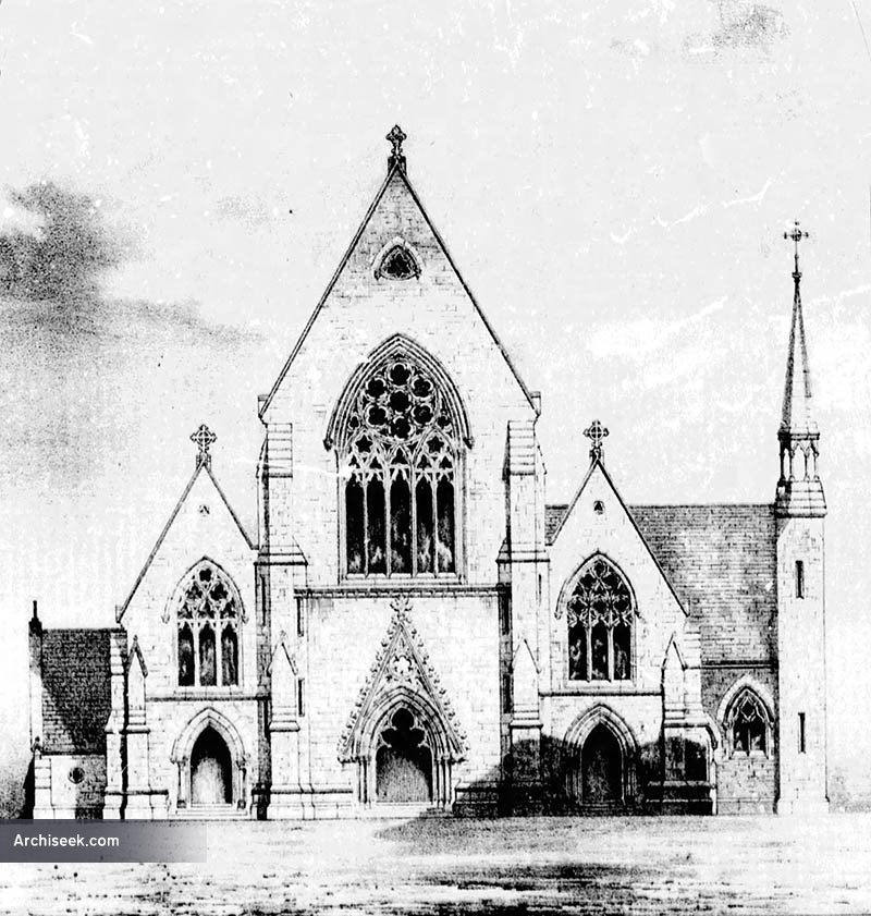 Church in Killenaule (killenaule Par.)Church · 1199 yd
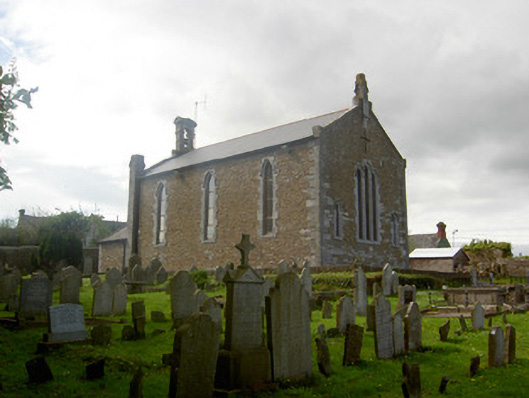 Killenaule Heritage Centrechurch/chapel · 1210 yd
 Slieveardagh Heritage CentreVisitor information · 1214 yd
 CastleCastle, ringwork · 1303 yd
 Enclosure in CoolquillEnclosure · 1.1 mi
 Eagle HillMountain / peak · 1.9 mi
 Waterloo HillMountain / peak · 2.4 mi
 Derrynaflan TrailHeritage attraction · 3.7 mi
 Gobban Saer's GraveArchaeological place · 3.9 mi
 Noan WoodWood · 4.3 mi
Other information
Photo: Credit not shown in the picture search · Rights wording not checked; contact us if this picture should be removed