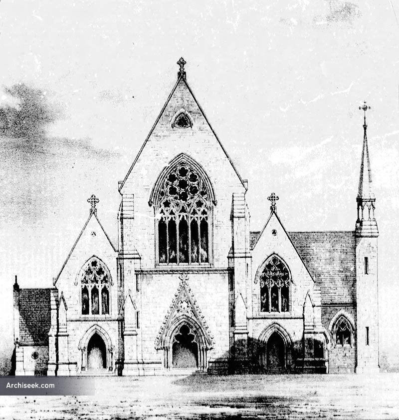
What is recorded here
On the S side of River Street, the church is at the highest point of a gentle rise, with the graveyard (TS054-050002-) occupying the slope of the hill to the E and S of the church. A motte and bailey (TS054-050003-) is 173m to the NE. The present church is a 19th-century structure built on the site of an earlier 18th-century church. It was a RC foundation until 1762 and thereafter used for Protestant worship. There was clearly a much earlier church on the site as is suggested by an illustration on the Down Survey map of 1655-8. This is borne out by five medieval architectural fragments including a mullion, two other window fragments and two possible door jambs which were found in the graveyard.
Compiled by: Jean Farrelly
Date of upload: 26 August 2011
A local church or high cross; wider significance not recorded.
The monument record does not grant public access. Check the route and ask the landowner before entering private land.
- What survives
- Recorded monument
Places near here
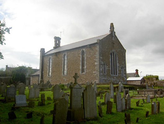 Killenaule Heritage Centrechurch/chapel · 12 yd
 Slieveardagh Heritage CentreVisitor information · 16 yd
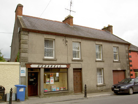 O'Connellhouse · 92 yd
 Site of CastleCastle, motte and bailey · 193 yd
 RathroeFairy fort / earthen ringfort · 1199 yd
 Enclosure in Knockavadagh,springhill (killenaule Par.)Enclosure · 1438 yd
 CastleCastle, ringwork · 1.0 mi
 Eagle HillMountain / peak · 2.4 mi
 Waterloo HillMountain / peak · 2.5 mi
 Gobban Saer's GraveArchaeological place · 3.3 mi
 Derrynaflan TrailHeritage attraction · 3.3 mi
 Noan WoodWood · 3.6 mi
Other information
Photo: Credit not shown in the picture search · Rights wording not checked; contact us if this picture should be removed