
What is recorded here
In corn field on high ground in upland region with panoramic views in all directions. Only a slight rise of ground indicates location of enclosure in field of corn, no other features visible no enclosing element visible. Monument depicted as a circular enclosure (approx. diam. 36m) on OS 6-inch map bisected by a townland boundary on a NW-SE. Field in corn to E of townland boundary and coniferous plantation in adjoining field to W of townland boundary. Laneway running parallel to townland boundary between the corn field and the forest plantation.
Compiled by: Jean Farrelly
Date of upload: 26 August 2011
The monument record does not grant public access. Check the route and ask the landowner before entering private land.
- What survives
- Recorded monument
Places near here
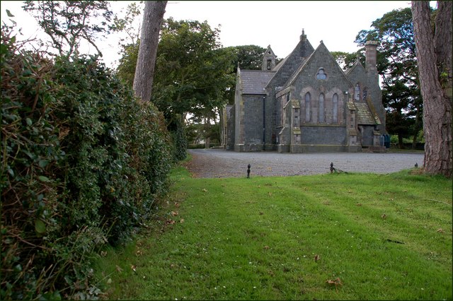 Church in Ballylusky (magowry Par.)Church · 476 yd
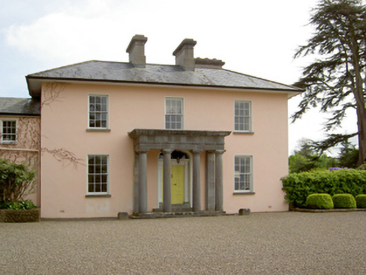 Springhill Housecountry house · 639 yd
 Slieveardagh Heritage CentreVisitor information · 1423 yd
 Site of CastleCastle, motte and bailey · 1499 yd
 Enclosure in Ballintogher (graystown Par.)Enclosure · 1536 yd
 Ladys WellHoly well · 1.3 mi
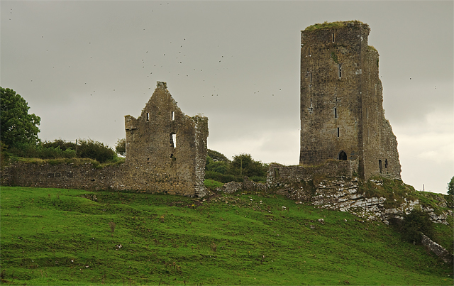 Bawn in GraystownBawn · 1.3 mi
 Waterloo HillMountain / peak · 2.4 mi
 Gobban Saer's GraveArchaeological place · 2.5 mi
 Derrynaflan TrailHeritage attraction · 2.6 mi
 Noan WoodWood · 3.1 mi
 Eagle HillMountain / peak · 3.2 mi
Other information
Photo: Credit not shown in the picture search · Rights wording not checked; contact us if this picture should be removed