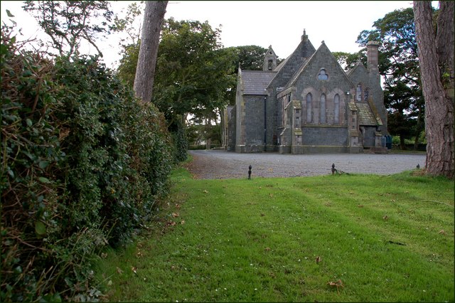
What is recorded here
McCormack (1989, 30-40) states that 'according to local tradition the church was located in the third field from a bridge on that river that flows between the bounds of the townlands of Graigue Lower and Ballyluskey. It is at the Ballyluskey side of the bridge, on the right as you come from Ballyluskey to Killenaule. The church is beyond a dwelling house and north of it, more or less over the glen through which the stream runs. An old road to the house is still on the land and is situated opposite the entrance to the Archbishop's house'. The church is unlocated within the townland.
Compiled by: Jean Farrelly
Date of upload: 26 August 2011
The monument record does not grant public access. Check the route and ask the landowner before entering private land.
- What survives
- Recorded monument
Places near here
 Enclosure in Knockavadagh,springhill (killenaule Par.)Enclosure · 476 yd
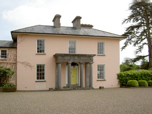 Springhill Housecountry house · 483 yd
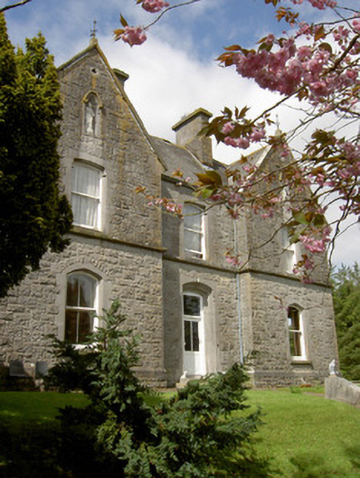 Bailey Housepresbytery/parochial/curate's house · 632 yd
 Slieveardagh Heritage CentreVisitor information · 957 yd
 Site of CastleCastle, motte and bailey · 1053 yd
 Enclosure in Ballintogher (graystown Par.)Enclosure · 1.0 mi
 CastleCastle, ringwork · 1.3 mi
 Waterloo HillMountain / peak · 2.4 mi
 Gobban Saer's GraveArchaeological place · 2.7 mi
 Derrynaflan TrailHeritage attraction · 2.9 mi
 Eagle HillMountain / peak · 2.9 mi
 Noan WoodWood · 3.2 mi
Other information
Photo: Credit not shown in the picture search · Rights wording not checked; contact us if this picture should be removed