What is recorded here
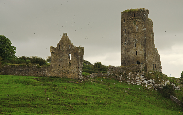
Two fields to the N of Graystown castle (TS054-037002-) there are the grass-covered wall-footings of a rectangular tower with wall-footings of a bawn (TS054-037011-) to E and house (TS054-037014-) with bawn (TS054-037015-) and two buildings to E (TS054-037016-; TS054-037017-). Situated in grassland atop low rise of rock outcrop with good views in all directions and deserted medieval settlement (TS054-037----) in field to S. Bawn (int. dims. 40m NE-SW x 37m NW-SE) defined by the grass-covered wall-footings (wall T 1-1.3m; H 0.7m) attached to N and E angles of tower with castle (TS054-037010-) in the NE angle. Immediately to NW of castle there are the grass-covered wall-footings of a possible building (TS054-037012-) running NW-SE and up against external face of bawn wall and against the inner face of the SE wall there is another possible building (TS054-037013-). Possible remains of a tower house with bawn or castle with bawn. Immediately to the NE there is a second adjoining bawn (TS054-037015-) and house (TS054-037014-) defined by an earthen bank. This secondary bawn and house are constructed with earthen banks and appear to have been built differently and perhaps later in date than the adjoining castle and bawn.
Compiled by: Jean Farrelly
Date of upload: 26 August 2011
The monument record does not grant public access. Check the route and ask the landowner before entering private land.
- What survives
- Recorded monument
Places near here
 Castle (in ruins)Castle, tower house · 262 yd
 Graystown Church (in ruins)Church · 650 yd
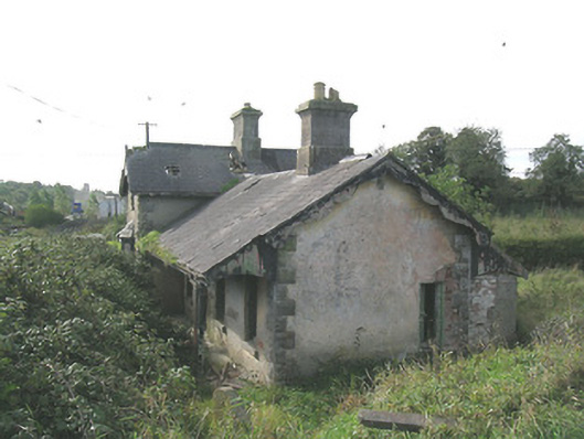 Laffansbridge Railway Stationrailway station · 848 yd
 Enclosure in Ballintogher (graystown Par.)Enclosure · 1015 yd
 RathmooleyFairy fort / earthen ringfort · 1.0 mi
 Noan WoodWood · 1.8 mi
 Slieveardagh Heritage CentreVisitor information · 1.8 mi
 Site of CastleCastle, motte and bailey · 1.9 mi
 Gobban Saer's GraveArchaeological place · 2.3 mi
 Taylor's WoodWood · 2.6 mi
 Ballinure HillMountain / peak · 3.0 mi
 Derrynaflan TrailHeritage attraction · 3.3 mi
Other information
Photo: Credit not shown in the picture search · Rights wording not checked; contact us if this picture should be removed