
What is recorded here
In grassland on high ground known locally as Scornan hill (Clutterbuck 2000, 157) with good views in all directions. A tower house (TS054-037002-), bawn (TS054-037001-) and deserted settlement (TS054-037----) are located 380m to NW. It is listed in the Ecclesiastical Taxation of Ireland 1302-07 as Scornan church and valued at £4 13 shillings (ibid. 317, 285). In 1607 it was one of the possessions of the Archbishop of Cashel and Emly but by 1615 no services were held at Graystown church (ibid.). The remains of the N wall and E gable of a rectangular medieval church (ext. dims. 18m N-S; 7.65m E-W; wall T 0.9m) built with roughly coursed limestone rubble are poorly preserved. The S wall and W gable of the church have been totally levelled. It is located in the S quad. of the sub-rectangular graveyard (TS054-039002-), as indicated on first ed. OS 6-inch map. The sillstone is all that survives of of a destroyed window E of centre in the N wall and a large gap in the centre of the E gable is where the E window was located. Inside the church, rock outcrop protrudes above the surface of the church floor. A spandrel of a single-light, ogee-headed window was found lying on the ground inside the churchagainst the inner face of the S wall, and a possible square-shaped font or stoup was lying on the ground inside the E end. Described in the OS Letters as an 'old Church built of limestone and lime and sand mortar and measured 53 ft 4 inches [16.4m] in length by 20 ft 4 inches [6.2m] in breadth' (O'Flanagan 1930 vol. 2, 175-6), in 1840 the W gable and S wall were not upstanding but there was a pointed limestone doorway at the W end of the N wall (ibid. 176). There is a large gap in the N wall where this doorway was originally located, the cut stone of the doorway now scattered nearby on the ground.
Compiled by: Jean Farrelly
Date of upload: 26 August 2011
The monument record does not grant public access. Check the route and ask the landowner before entering private land.
- What survives
- Recorded monument
Places near here
 Castle (in ruins)Castle, tower house · 434 yd
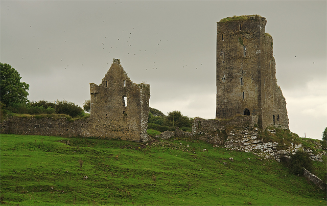 Bawn in GraystownBawn · 650 yd
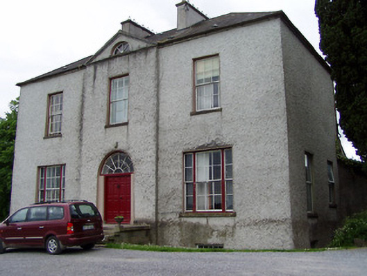 Helen Parkhouse · 1174 yd
 RathmooleyFairy fort / earthen ringfort · 1216 yd
 Church Hill, BallintogherRuins · 1398 yd
 Enclosure in Ballintogher (graystown Par.)Enclosure · 1458 yd
 Slieveardagh Heritage CentreVisitor information · 1.7 mi
 Noan WoodWood · 1.9 mi
 Taylor's WoodWood · 2.7 mi
 Gobban Saer's GraveArchaeological place · 2.7 mi
 Ballinure HillMountain / peak · 3.1 mi
 Derrynaflan TrailHeritage attraction · 3.6 mi
Other information
Photo: Credit not shown in the picture search · Rights wording not checked; contact us if this picture should be removed