
What is recorded here
On slight rise of drained/reclaimed grassland in upland area with good views in all directions. Filled-in disused well known as Lady's Well, not indicated on first edition OS 6-inch map. Old stile on side of road and close proximity to village of Ballinunty may suggest its use as a village well. Lanespark church (TS054-013001-) located 450m to the NW. Unclear if this is a holy well or just a natural spring well. No recorded tradition of this well being used as a holy well, or of any patterns being held at this well. Located up against NW face of field boundary, field has been reclaimed and re-seeded with grass, well blocked up and drain pipe visible underneath fill. Possibly used by landowner as part of adjoining land drainage.
Compiled by: Jean Farrelly
Date of upload: 26 August 2011
Linked to a local tradition of healing and pilgrimage, Lady's Well was historically associated with offerings and prayers for health, particularly for women's ailments. Though now disused and filled in, its absence from early maps suggests it was a longstanding but informal sacred site.
The monument record does not grant public access. Check the route and ask the landowner before entering private land.
- What survives
- Recorded monument
Places near here
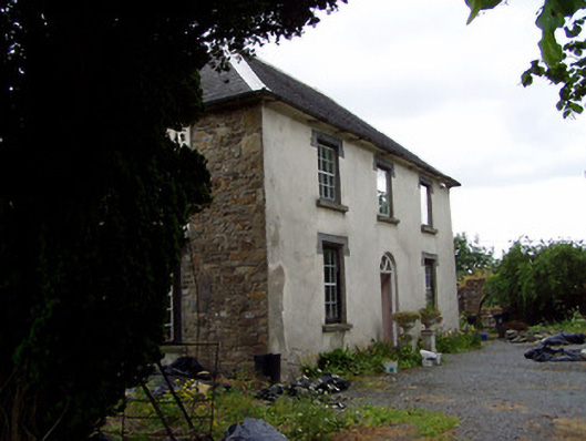 Hill View Househouse · 290 yd
 Water millWater mill, unclassified · 962 yd
 Enclosure in TullequaneEnclosure · 1346 yd
 Enclosure in LanesparkEnclosure · 1.0 mi
 Waterloo HillMountain / peak · 1.1 mi
 CastleCastle, ringwork · 1.2 mi
 Bog Castle (in Ruins)Castle, unclassified · 1.2 mi
 Slieveardagh Heritage CentreVisitor information · 1.6 mi
 Derrynaflan TrailHeritage attraction · 2.0 mi
 Gobban Saer's GraveArchaeological place · 2.7 mi
 Eagle HillMountain / peak · 3.6 mi
 Horse and JockeyVisitor information · 4.0 mi
Other information
Photo: Credit not shown in the picture search · Rights wording not checked; contact us if this picture should be removed