
What is recorded here
On flat grassland atop low rise of ground with good views in all directions, on the demesne grounds of Lanespark House 200m to the SE. Enclosure visible on aerial photograph (GSI S 579/8) as a circular earthwork. Monument consists of a circular platform (diam. 42m N-S; 39m SE-NW) enclosed by a low broad bank (Wth 3.5m; int. H 0.1m; ext. H 0.5m) which been mainly reduced to a scarp (H 1m) and possible outer fosse (Wth 1m; ext. D 0.1m). Field boundary bisects enclosure on a NW-SE axis, E half of enclosure in demesne woodland with beech trees planted around edge of platform, W half of enclosure now in grassland but originally in demesne woodland. The close proximity to the big house and its location in demesne woodland along with beech trees enclosing half of enclosure suggest possibility that the enclosure was used as a landscape feature. Could have been a ringfort re-used as a landscape feature or more likely that it was a landscape feature for the big house, ie. a tree ring. Doubtful antiquity, however not depicted on any ed. OS 6-inch map while other tree rings on the estate are indicated as tree rings.
Compiled by: Jean Farrelly
Date of upload: 26 August 2011
The monument record does not grant public access. Check the route and ask the landowner before entering private land.
- What survives
- Recorded monument
Places near here
 StructureStructure, peatland · 1175 yd
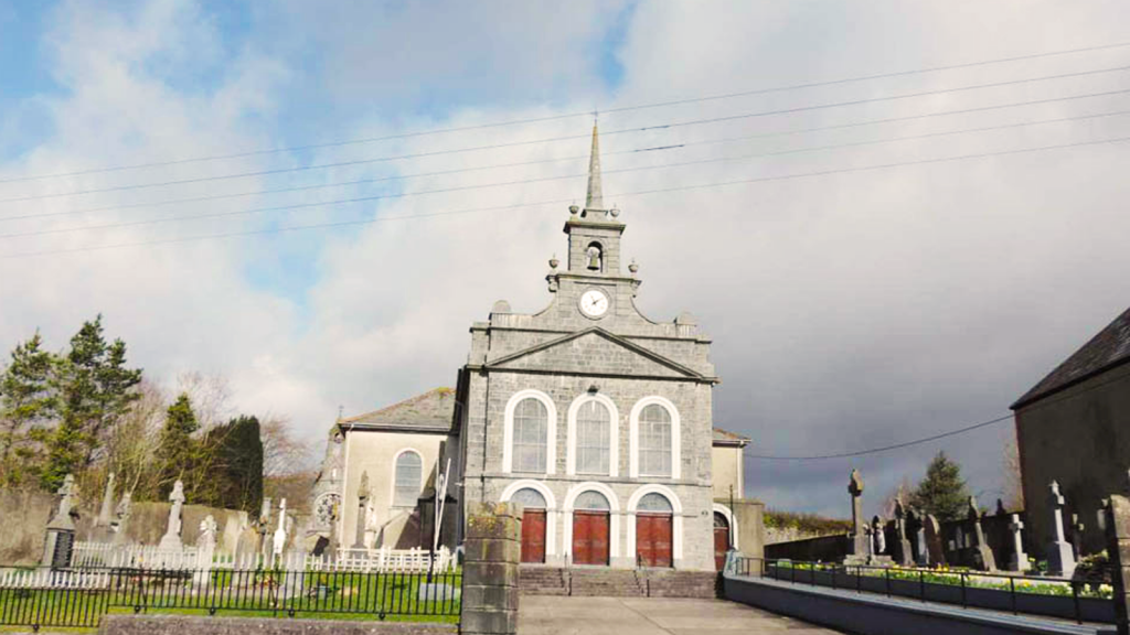 Derryvella Church (in Ruins)Church · 1644 yd
 Grave YardEcclesiastical enclosure · 1658 yd
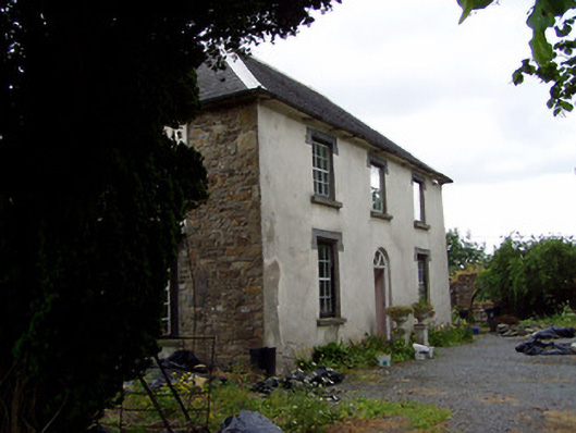 Hill View Househouse · 1.0 mi
 Bog Castle (in Ruins)Castle, unclassified · 1.1 mi
 Waterloo HillMountain / peak · 1.1 mi
 Derrynaflan TrailHeritage attraction · 1.2 mi
 CastleCastle, ringwork · 2.2 mi
 Gobban Saer's GraveArchaeological place · 2.5 mi
 Slieveardagh Heritage CentreVisitor information · 2.5 mi
 Sweet ChestnutSweet Chestnut · 3.5 mi
 Horse and JockeyVisitor information · 3.5 mi
Other information
Photo: Credit not shown in the picture search · Rights wording not checked; contact us if this picture should be removed