
What is recorded here
On the S bank of stream on a N-facing slope of rising ground in upland region. The present mill consists of a large 18th/19th-century watermill with triangular-shaped mill pond to E of mill. Corn-drying kiln brick chimney well preserved along S wall of mill. Millwheel now gone but mill race chute visible. Mill was powered by an overshot wheel, mill pond to e of mill now filled in and used as yard for adjoining modern house to E of mill. Mill pond was enclosed by a high earthen bank stone face internally and externally of which only the S bank now survives. The mill race fed this pond through a stone-lined race which entered the base of the mill pond bank at W and exited the top of the mill pond bank at W where it powered the mill wheel. No evidence for any early mill on location of present corn mill. Local mill owner indicated the location of an earlier mill further up stream to the E of the corn mill which may have been the location of the mill mentioned in the Civil Survey of 1654-6 (Simington 1931, vol.1, 134). At the bend in the river there is a cut on the S bank of the river to divert the water into an earth cut channel or mill race which fed a mill building of which only small piles of rubble survive, the tail race is still visible where it returned back to the stream W of the mill. It appears that the mill wheel sat directly into the mill race with no eivdence for a mill pond.
Compiled by: Jean Farrelly
Date of upload: 26 August 2011
The monument record does not grant public access. Check the route and ask the landowner before entering private land.
- What survives
- Recorded monument
Places near here
 Mine in Ballinunty (graystown Par.),tullequaneMine · 479 yd
 Enclosure in TullequaneEnclosure · 543 yd
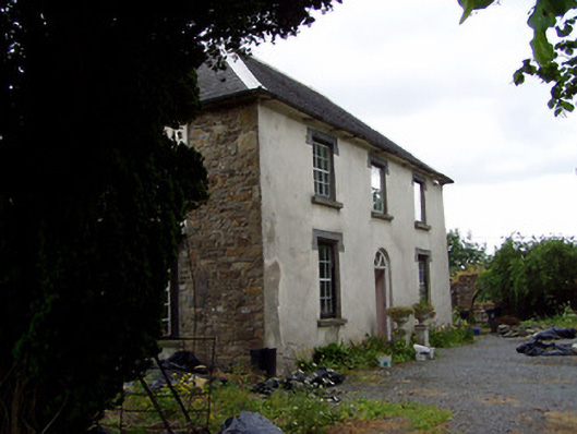 Hill View Househouse · 738 yd
 Ladys WellHoly well · 962 yd
 CastleCastle, ringwork · 1353 yd
 Waterloo HillMountain / peak · 1714 yd
 Site of CastleCastle, motte and bailey · 1.4 mi
 Slieveardagh Heritage CentreVisitor information · 1.5 mi
 Derrynaflan TrailHeritage attraction · 2.5 mi
 Eagle HillMountain / peak · 3.2 mi
 Gobban Saer's GraveArchaeological place · 3.3 mi
 Horse and JockeyVisitor information · 4.6 mi
Other information
Photo: Credit not shown in the picture search · Rights wording not checked; contact us if this picture should be removed