
What is recorded here
In grassland on flat pasture on S bank of small stream in upland region near the village of Ballinunty. No visible remains of ancient coal mines indicated on 1824 map of the area as “Danish excavation” (NLI 16.I.17(1)). Tall spoil heap of coalmining from the 19th century which may have destroyed the evidence of the earlier colamines.
Compiled by: Jean Farrelly
Date of upload: 26 August 2011
The monument record does not grant public access. Check the route and ask the landowner before entering private land.
- What survives
- Recorded monument
Places near here
 Enclosure in TullequaneEnclosure · 356 yd
 Water millWater mill, unclassified · 479 yd
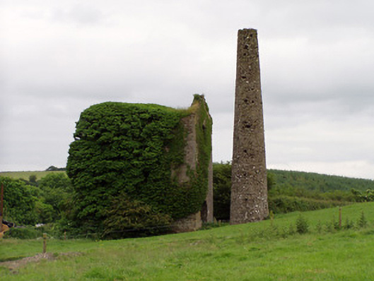 Mardyke Collieryengine house · 717 yd
 CastleCastle, ringwork · 1250 yd
 Enclosure in MonslattEnclosure · 1399 yd
 Waterloo HillMountain / peak · 1672 yd
 Coolquill CastleCastle · 1.4 mi
 Slieveardagh Heritage CentreVisitor information · 1.6 mi
 Derrynaflan TrailHeritage attraction · 2.7 mi
 Eagle HillMountain / peak · 3.1 mi
 Gobban Saer's GraveArchaeological place · 3.5 mi
 Horse and JockeyVisitor information · 4.8 mi
Other information
Photo: Credit not shown in the picture search · Rights wording not checked; contact us if this picture should be removed