
What is recorded here
Shown on 1842 OS 6-inch map as oval area (c. 20m NW-SE; c. 15m NE-SW) defined by dotted line and named 'Templenakilla'; not shown on 1905 OS 6-inch map; shown on 1937 OS 6-inch map as circular area (diam. c. 20m) defined by broken line and named 'Paircín na Cille'. In pasture. Levelled; circular area (diam. c. 34.5m) defined by slight scarp (max. H 0.65m) SE->SSW and WNW->N. Low, overgrown mound of earth and stone (diam. c. 8.6m) in centre with boulder (H 0.6m; 0.8m x 0.45m) on top. According to local information, similar boulders scattered across interior were broken and removed in recent past. Known locally as 'children's burial ground'.
The above description is derived from the published 'Archaeological Inventory of County Cork. Volume 4: North Cork' (Dublin: Stationery Office, 2000). In certain instances the entries have been revised and updated in the light of recent research.
Date of upload/revision: 14 January 2009
Portal dolmen; dates to the Neolithic period (c. 4000–2500 BCE). Its representation on early Ordnance Survey maps indicates it was recognised as a prehistoric monument in the 19th century, though its current status and preservation are unclear.
The monument record does not grant public access. Check the route and ask the landowner before entering private land.
- What survives
- Recorded monument
Places near here
 St Bridgets WellHoly well · 222 yd
 CarrigadoonCastle, unclassified · 523 yd
 Churchtown TrailsVisitor information · 621 yd
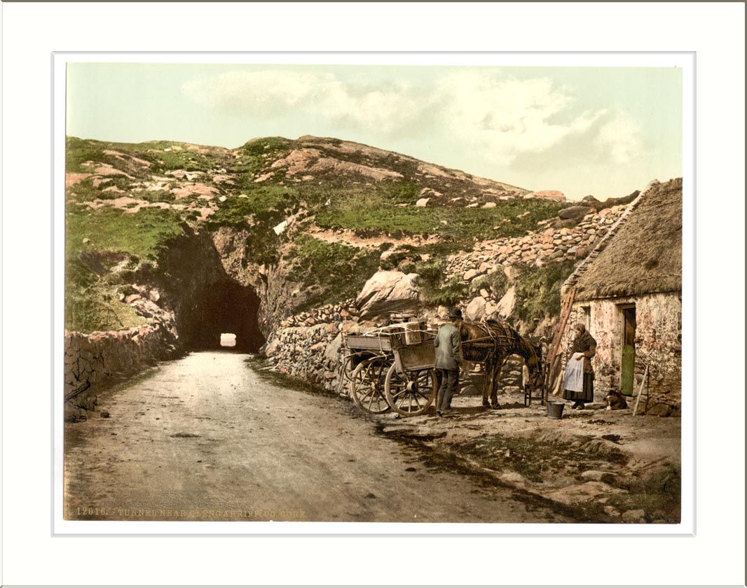 Quarry in ClashelaneQuarry · 654 yd
 Rath (Site of)Fairy fort / earthen ringfort · 839 yd
 Curraghmount Housecountry house · 1124 yd
 Templeconnell Castle (in Ruins)Castle, tower house · 1697 yd
 Lady's WellSpring · 1.8 mi
 Buttevant Rail DisasterMemorial · 1.9 mi
 Ballyhoura WayWalking route · 2.0 mi
 David HurleyMemorial · 2.5 mi
 SycamoreSycamore · 2.5 mi
Other information
Photo: Credit not shown in the picture search · Rights wording not checked; contact us if this picture should be removed