What is recorded here
According to Grove White (1905-25, vol. 4, 254), local tradition that 'remains of a building' in field c. 300m NE of Tulhig House was 'an old church' with well called 'Toberheighue' nearby. The OS 6-inch map of 1937 shows 'Tubberatadhg' c. 250m SE of Tulhig House and c. 60m NE of burial ground (14621). Exact location of church not known.
The above description is derived from the published 'Archaeological Inventory of County Cork. Volume 4: North Cork' (Dublin: Stationery Office, 2000). In certain instances the entries have been revised and updated in the light of recent research.
Date of upload/revision: 14 January 2009
The monument record does not grant public access. Check the route and ask the landowner before entering private land.
- What survives
- Recorded monument
Places near here
 Enclosure in Tullig (orrery and Kilmore By.)Enclosure · 198 yd
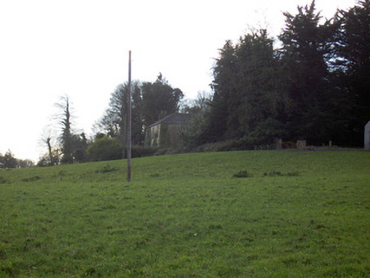 Tullig Housecountry house · 317 yd
 IndicatedKiln, lime · 496 yd
 Fulacht fia in BregogeFulacht fia · 762 yd
 CarrigadoonCastle, unclassified · 966 yd
 Churchtown TrailsVisitor information · 1.1 mi
 Lady's WellSpring · 1.2 mi
 Lisgriffin CastleCastle · 1.2 mi
 Buttevant Rail DisasterMemorial · 1.8 mi
 David HurleyMemorial · 2.4 mi
 SycamoreSycamore · 2.4 mi
 Battle of LiscarrollMajor battlefield · 3.7 mi