
What is recorded here
That is the only fact available in the provided material.
Situated in pasture immediately S of ringfort (CO016-202----) with Tullig House 115m to N. Cropmark of circular-shaped enclosure (approx. diam. 35m) visible on Google Earth photographs taken 19/03/2015 and on various OSI aerial photographs, including the 1995 OSI black and white aerial orthograph and is clearly visible today on Digital Globe aerial photographs
See attached Google earth aerial photograph showing outline of enclosure.
Compiled by: Caimin O'Brien based on details provided by Dr. Rob O'Hara
Date of upload: 18 February 2020
The monument record does not grant public access. Check the route and ask the landowner before entering private land.
- What survives
- Recorded monument
Places near here
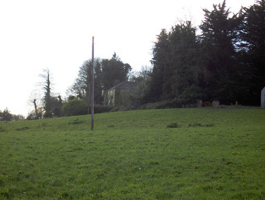 Tullig Housecountry house · 165 yd
 Bregoge Househouse · 386 yd
 Fulacht fia in BregogeFulacht fia · 655 yd
 CarrigadoonCastle, unclassified · 1060 yd
 Grave YdGraveyard · 1135 yd
 Churchtown TrailsVisitor information · 1.1 mi
 Lady's WellSpring · 1.3 mi
 Lisgriffin CastleCastle · 1.3 mi
 Buttevant Rail DisasterMemorial · 1.7 mi
 David HurleyMemorial · 2.3 mi
 SycamoreSycamore · 2.3 mi
 Battle of LiscarrollMajor battlefield · 3.8 mi
Other information
Photo: Credit not shown in the picture search · Rights wording not checked; contact us if this picture should be removed