What is recorded here
Situated on gentle SW-facing slope, in low-lying pasture. Ringfort (WM026-063----) lies c. 160m to WSW. Depicted on the revised 1913 ed. OS 25-inch map as a subcircular-shaped earthwork in a coppice of trees. Monument described in 1971 as a subcircular-shaped area (dims. 30.2m N-S; approx. 29m E-W) enclosed by a bank and external fosse. The bank is high and steep on the exterior and is almost reduced to a scarp. A large portion of the bank has been removed at W leaving a concave indent and there is a small quarry hole in the exterior at E. A modern field fence running NNE-SSW extends outside the base of the bank from NE-E-SE. There is a very wide gap in the bank at SE where the fosse is obscured by vegetation. The fosse is wide and shallow. A house site (WM026-064001-) is visible in the N quadrant. Levelled monument visible today as a cropmark on Digital Globe aerial photography. See attached profile of monument surveyed and drawn by the ASI.
Situated on gentle SW-facing slope, in low-lying pasture. Ringfort (WM026-063----) lies c. 160m to WSW. Depicted on the revised 1913 ed. OS 25-inch map as a subcircular-shaped earthwork in a coppice of trees. Monument described in 1971 as a subcircular-shaped area (dims. 30.2m N-S; approx. 29m E-W) enclosed by a bank and external fosse. The bank is high and steep on the exterior and is almost reduced to a scarp.…
From the National Monuments Service (Archaeological Survey of Ireland) record WM026-064
This remains an important historical record, but the official description says the monument is no longer visible or has been destroyed. The monument record does not grant public access. Check the route and ask the landowner before entering private land.
- What survives
- No visible remains or recorded as destroyed
Places near here
Photo credits
- National Inventory of Architectural Heritage
- Liam Hughes from Milwaukee, WI, USA, Wikimedia Commons · CC BY 2.0
- MookiePlays, Wikimedia Commons · CC BY-SA 4.0
- Kieran Campbell, Geograph · Creative Commons Attribution-ShareAlike 2.0
- EecherplazGinkgo06.jpg : Cayambe derivative work: Ginkgotree ( talk ), Wikimedia Commons · CC BY-SA 3.0
- kevin higgins, Wikimedia Commons · CC BY-SA 2.0
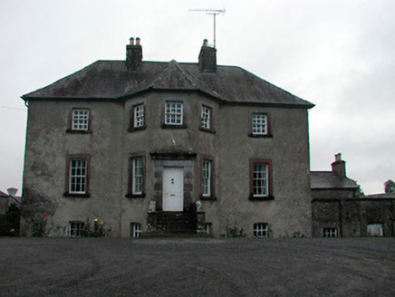 Anneville HouseCountry house · 666 yd
 Anneville HouseFarmyard complex · 732 yd
 Carrick LodgeFarm house · 926 yd
 The Old HouseHouse · 960 yd
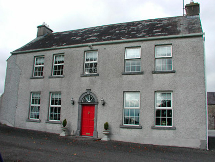 Tyrrellstown HouseFarm house, outbuilding · 1037 yd
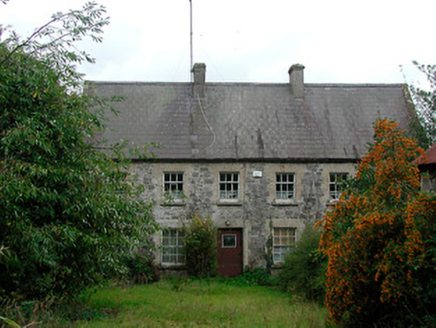 Rochfort MillMiller's house · 1072 yd
 Belvedere house and gardensVisitor information · 1.2 mi
 CastleCastle, unclassified · 3.3 mi
 Rattin CastleCastle, tower house · 7.3 mi
 Fairy fort / earthen ringfort in ReynellaFairy fort / earthen ringfort · 10 mi
 Ginkgo10 mi
 St. Columbkilles CrossCross, High cross · 12 mi
More archaeology and monuments in County Westmeath · All of County Westmeath
What do you know about this place?