DDiscover AloneMapAbout

Ecclesiastical enclosure in Glassavullaun

Ecclesiastical enclosure
Computer-made picture that does not show Ecclesiastical enclosure in GlassavullaunNot a photo of this monument
Computer-made picture. It does not show this monument. · Report the wrong picture

What is recorded here

Kilmasantan (Ceall Easpaig Shantáin/Kilmasanctan/Kill Sanctan) Church ruins (DU025-033001-) annotated St Ann's (Sanct-Anna) Chapel on historic OSi maps, stands on an early Christian monastery founded by St Santán, whose feastday falls on the 9th of May and 10th of June (Ó Riain 2011, 546-7; O'Hanlon 1875-1903, Vol.…

Read the whole record
Kilmasantan (Ceall Easpaig Shantáin/Kilmasanctan/Kill Sanctan) Church ruins (DU025-033001-) annotated St Ann's (Sanct-Anna) Chapel on historic OSi maps, stands on an early Christian monastery founded by St Santán, whose feastday falls on the 9th of May and 10th of June (Ó Riain 2011, 546-7; O'Hanlon 1875-1903, Vol. VI, 614). St Santán also known as Bishop Sanctan, probably founded the monastery here in the 6th-century. Santán, was son Samuel Ceanníseal, 'head-bent' (Sawyl Benisel in Welsh genealogies), brother of the pilgrim Madóg (from Welsh Madawg) and his mother was Deichtir daughter of Muireadhach Muindearg, king of Ulster (Ó Riain 2011, 546; Baring-Gould & Fisher 1913, 171). In the Isle of Man, a parish was named Kirk Santan after the saint who, as in Ireland, was later confused with St Ann (ibid.). In the year 962 AD, The Annals of the Four Masters recorded the death of 'Caenchomraic, abbot of Cill Easpuig Sanctan'. Situated in the upland river valley of Glenasmole, in the Dublin Mountains, on the W facing slope of rising ground overlooking the E bank of the River Dodder. Inside the gate of the graveyard (DU025-033002-) immediately to the N there is a medieval font (DU025-033003-). Adjoining the NW side of the graveyard are the remains of a circular-shaped area enclosed by an earthen bank which may represent the remains of an ecclesiastical enclosure (diam. c. 65m) associated with the early Christian monastery of Kilmasantan. The curving field bank on the N side forms the townland boundary with Glassamucky to the N and Ballymorefinn to the W. St Ann's Well (DU025-018----) originally St Santan's Well lies 175m to the NE. Baring-Gould, S. and Fisher J. 1913 The Lives of the British Saints: The Saints of Wales and Cornwall and Such Irish Saints as Have Dedications in Britain, Volume 4 See attached Google Earth orthoimages Compiled by: Caimin O'Brien Date of upload: 10 March 2023

From the National Monuments Service (Archaeological Survey of Ireland) record DU025-033005

The monument record does not grant public access. Check the route and ask the landowner before entering private land.

What do you know about this place?Tap to add a comment or ask a question

What you write will be public.

Places near here

Photo credits
  • National Inventory of Architectural Heritage
  • Maker not stated on source page, en.m.wikipedia.org
  • JP, Wikimedia Commons · CC BY-SA 2.0
  • JP, Geograph · CC BY-SA 2.0
  • Maker not stated on source page, www.youtube.com
  • Joe King, Wikimedia Commons · CC BY-SA 3.0
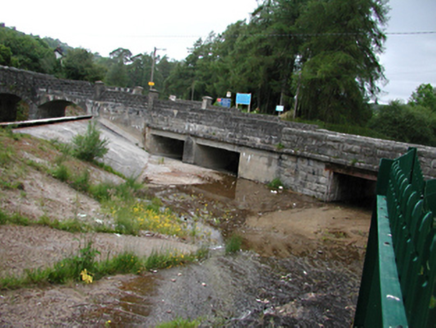
bridge747 yd

Explorer Tom Bridge in Castlekelly is a stone and concrete beast from 1906, sitting on top of an older 1885 arch. It’s part of the…
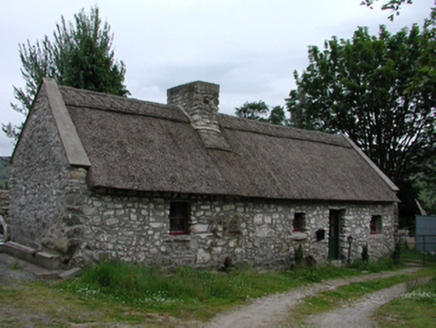
Glenasmole CottageFarm house · 830 yd

Explorer Tom Glenasmole Cottage in Cunard has that battered stone look like it hasn’t slept since 1754, probably because the sheep…
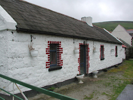
farm house845 yd

Explorer Tom The Farm house in Castlekelly holds a fake world record for having the most stubborn stone foundation that refuses to…

Glenasmole ReservoirDam/reservoir/basin · 956 yd

Explorer Tom Glenasmole Reservoir is part of a Victorian engineering scheme from 1883. It collects clean hill water while bog-water…

CairnCairn, unclassified · 1049 yd

Explorer Tom Cairn in Piperstown has a hole right in the middle where something important used to be. It’s basically a stone donut…

Castlekelly BridgeBridge · 1368 yd

Explorer Tom Castlekelly Bridge in County Dublin is at an oblique angle because it’s trying to look mysterious while crossing a tiny…

Ballymorefinn HillMountain / peak · 1.0 mi

Explorer Tom Ballymorefinn Hill in County Dublin overlooks a waterfall above Bohernabreena Reservoir. It’s a nice spot for a walk…
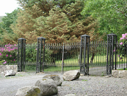
gates/railings/walls1.0 mi

Explorer Tom Gates in Castlekelly are standing at attention like they’re waiting for a parade that never arrived. They form an…

Finn Mac Cools StoneStanding stone · 1.2 mi

Explorer Tom Finn Mac Cools Stone in Castlekelly claims an Irish giant carried it on his shoulder. He was nine feet seven and…

Montpelier HillMountain / peak · 1.6 mi

Explorer Tom Dublin has a hill, a view and a lodge with a dreadful reputation. Montpelier Hill offers Dublin a view from 383 metres…

Noel Lemass MemorialMemorial · 2.0 mi

Explorer Tom Noel Lemass Memorial in County Dublin marks where a captain died in 1923 so the republic might live. That is very…

Mount Venus CemeteryCemetery · 2.7 mi

Explorer Tom Mount Venus Cemetery in County Dublin was originally planned as an escape route for a very nervous vicar who couldn’t…

More archaeology and monuments in County Dublin · All of County Dublin

Add to this placeAdd a picture Add a detailed tip Add a story

Explore the map1,095,414 places to discover

Next place · or swipebridge